
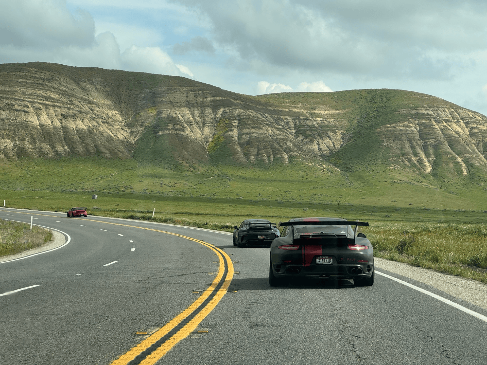
There is a much faster way to drive from Palm Springs to Las Vegas. We had absolutely no interest in taking it. For the AFR Desert GT, we built a Southern California road trip around the opposite idea: start in the desert, climb into the mountains, work our way across some of Southern California’s best backroads to the Pacific Coast, turn inland through the mountains again, cross Death Valley, and finally finish beneath the lights of Las Vegas. The result was a route connecting four completely different destinations:
Palm Springs → Santa Barbara → Death Valley → Las Vegas
But those four names barely tell the story. And before the trip was over, we traded the GT cars for trophy trucks at SpeedVegas. This was the AFR Desert GT.
Day 0 – Starting in Palm Springs
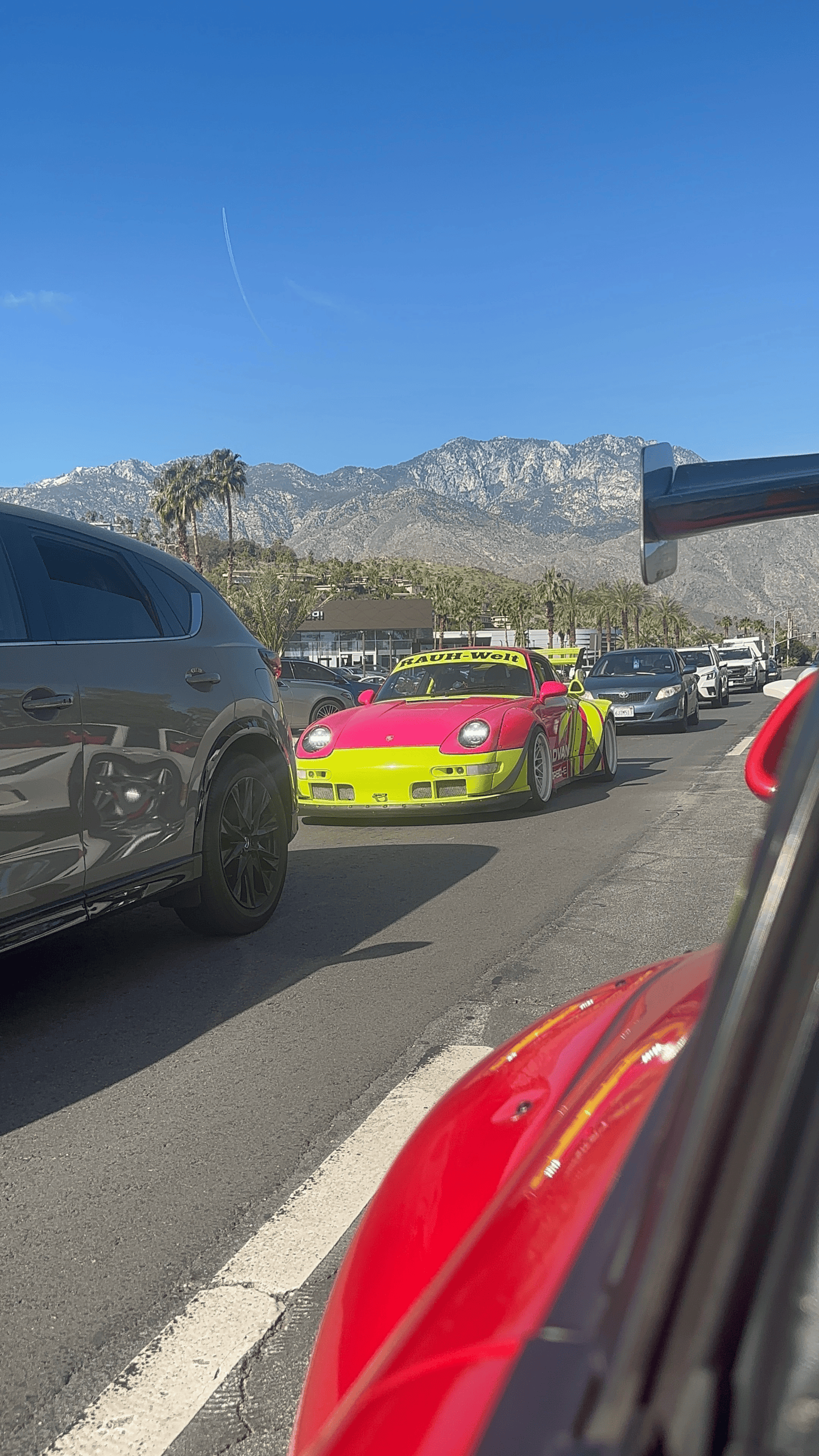
The rally began in Palm Springs, California, where we based ourselves at the Hyatt in downtown Palm Springs. Palm Springs is already one of the best automotive destinations in Southern California. Wide boulevards, mid-century architecture, mountains rising almost vertically from the edge of town and an endless collection of interesting cars make it an appropriate place to begin a road trip.
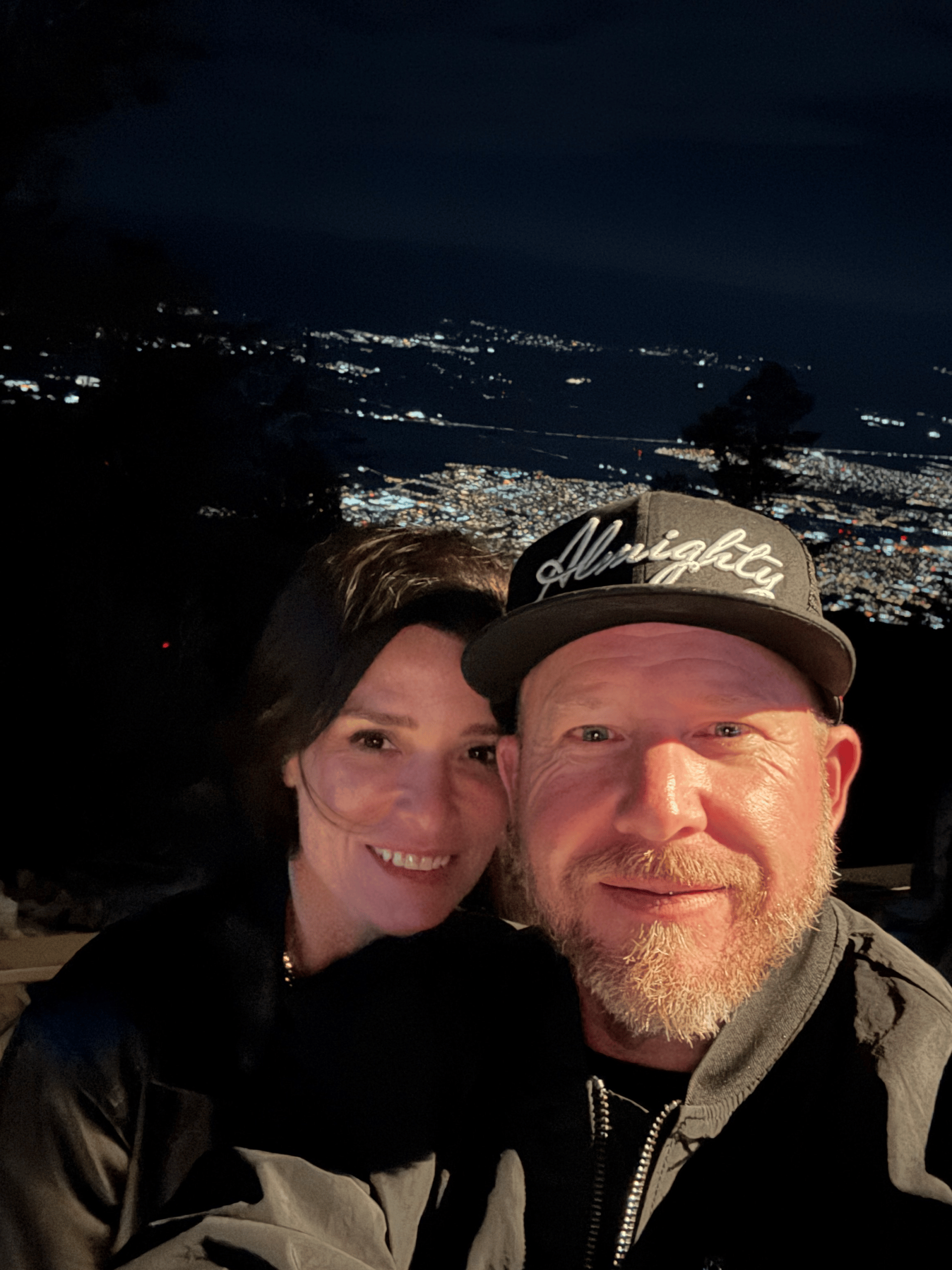
But our first night wasn’t spent behind the wheel. Instead, we went up. One of the defining features of Palm Springs is the enormous elevation change immediately west of the city. The Palm Springs Aerial Tramway takes you from the desert floor into the San Jacinto Mountains in a matter of minutes. At the top, we had dinner at Peaks Restaurant, overlooking the Coachella Valley far below. It’s difficult to imagine a better introduction to the landscape we would be driving through over the next several days.
The following morning, it was time to experience those elevation changes from behind the wheel.

Day 1 – Palm Springs to Santa Barbara
7 Hours | 300 Miles – https://maps.app.goo.gl/G8nP82k7kXSzXA4M8
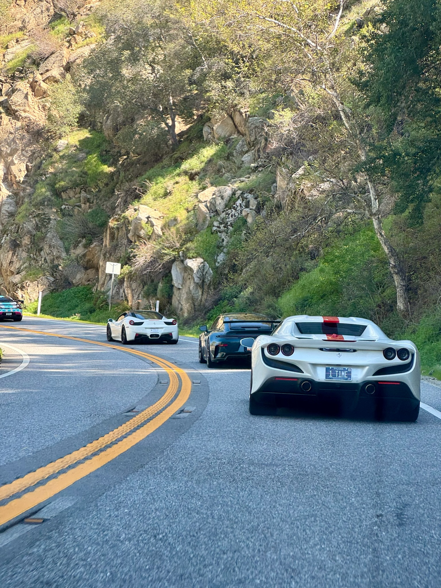
Our first major driving day connected Palm Springs with Santa Barbara. Taking the direct freeway route would have defeated the purpose. So we went looking for mountains. Leaving Palm Springs, we headed south to climb some major twisties on our route as we headed west on California State Route 74 toward Mountain Center. CA-74 immediately changes the character of the trip. Palm Springs disappears beneath you as the road climbs rapidly into the San Jacinto Mountains through a long series of curves and elevation changes. It’s exactly the sort of road we build an AFR route around.
From the mountains above Palm Springs, we worked our way west through Southern California. Our route required us jumping on the I-10 for a short period of time as we passed through the Banning area before continuing toward the high desert and mountain roads north of Los Angeles. Rather than dropping into the middle of Los Angeles, we stayed toward the mountains.
Stops and waypoints included Big Pines, Angeles Forest Highway, Hidden Springs and the Tujunga area. This is a completely different version of Southern California than most visitors experience. Instead of beaches and freeways, you’re surrounded by mountains, canyons and forest roads. At times, downtown Los Angeles is surprisingly close geographically. It doesn’t feel like it.
The roads through the Angeles National Forest were among the highlights of the first day. This part of Southern California is filled with the kind of pavement enthusiasts look for: elevation changes, long sweepers, technical corners and mountain scenery. From there, we continued west through the Valencia area before eventually heading toward Ojai. And once again, the scenery changed.
Ojai sits in a valley surrounded by the Topatopa Mountains and is a perfect transition between Southern California’s inland mountain roads and the coast. From Ojai, we continued toward Santa Barbara. After spending much of the day climbing through desert and mountain environments, arriving beside the Pacific Ocean felt like we’d traveled considerably farther than the mileage suggested.
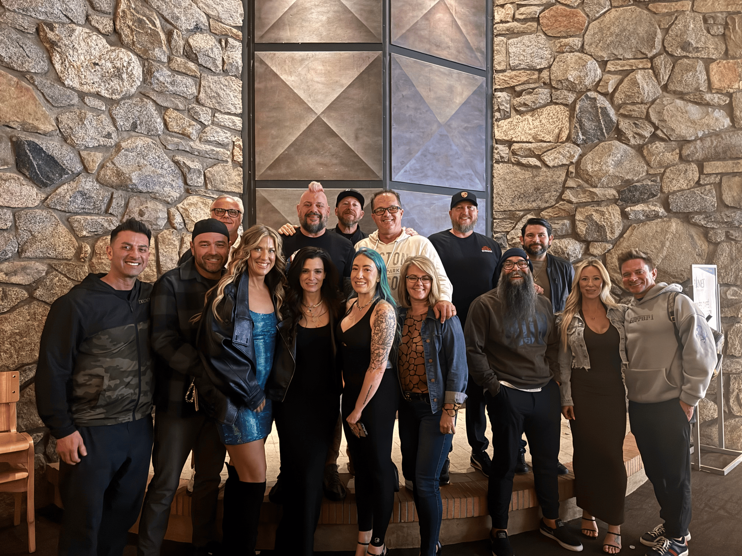
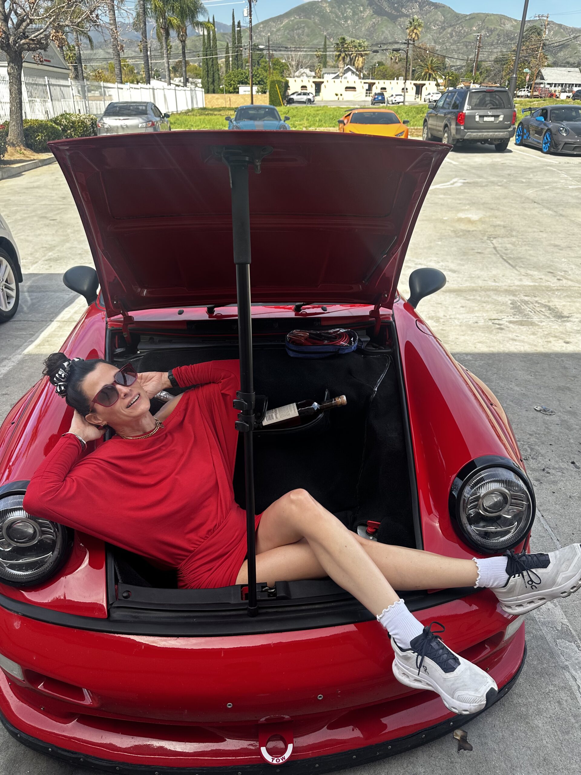
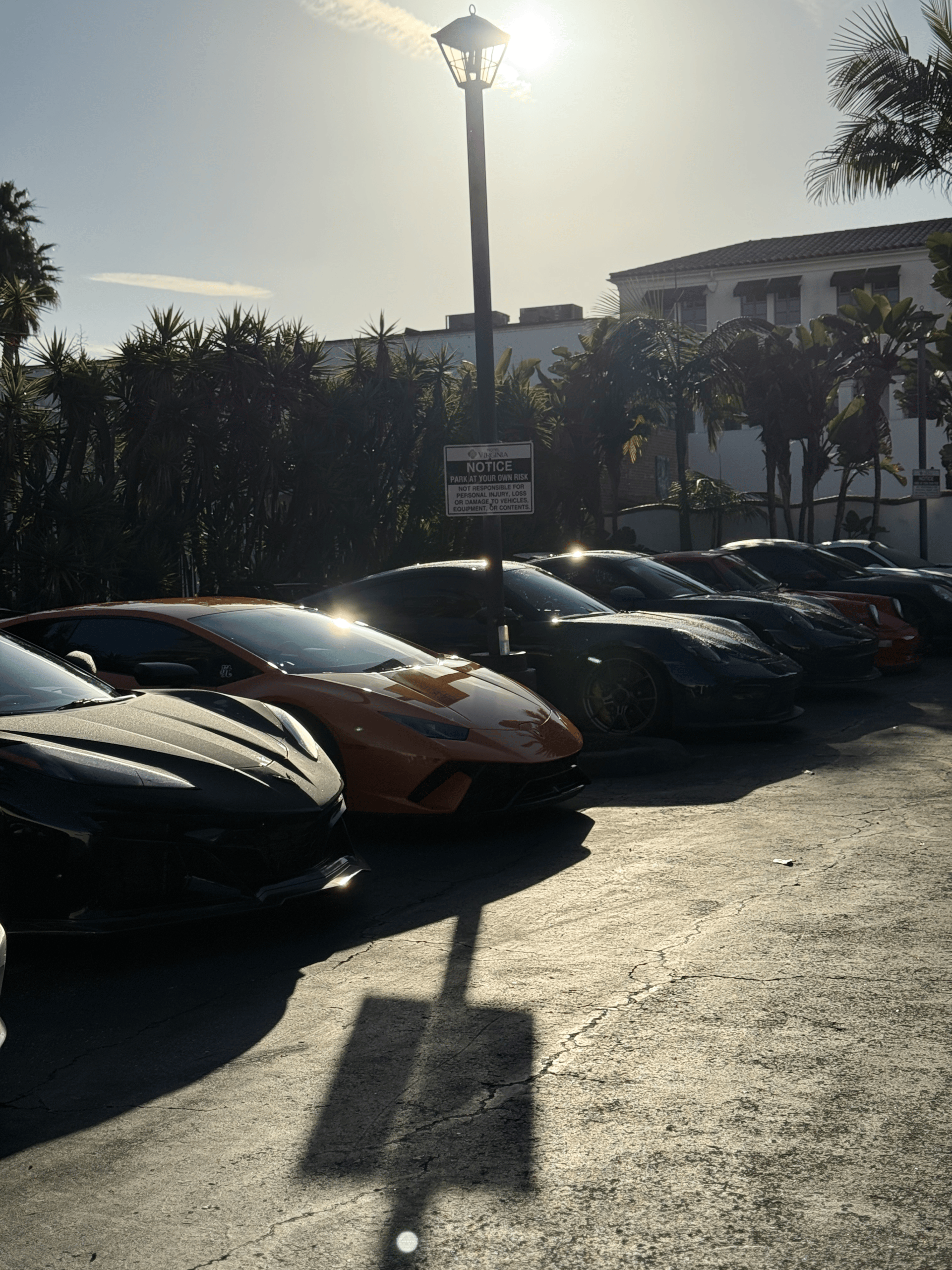
We checked into Hotel Virginia Santa Barbara, parked the cars and spent the evening in one of California’s most recognizable coastal cities. Within one driving day we had gone from Palm Springs desert temperatures to mountain roads and finally to the Pacific Coast.
The next morning we turned the cars around. Not back toward Palm Springs. Toward Death Valley.
Day 2 – Santa Barbara to Death Valley
7 Hours | 380 Miles – https://maps.app.goo.gl/1PNMXjGPdeFo9Q3s7
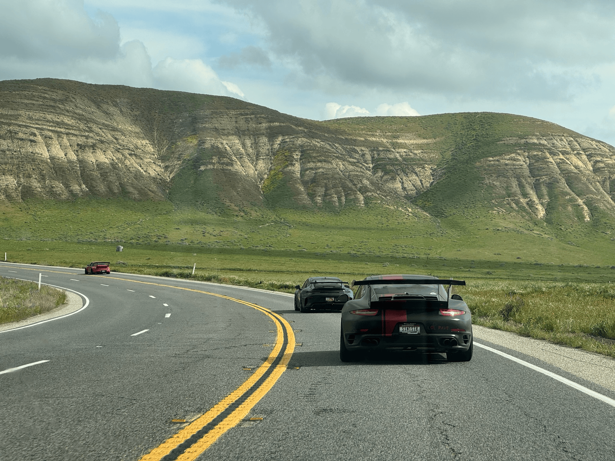
The drive from Santa Barbara to Death Valley was one of the longest and most varied sections of the Desert GT. Again, the obvious route wasn’t the route we wanted. We left Santa Barbara and headed back toward Ojai, climbing away from the coast and into the mountains. From there, the route continued through the interior of California toward Maricopa and Bakersfield.
From Bakersfield, our route headed toward Lake Isabella. The highways surrounding Lake Isabella provide a spectacular transition into California’s Sierra Nevada region. Mountain roads follow rivers and canyons before eventually emerging into the enormous open landscapes east of the Sierra. This section of the trip gave us another dramatic contrast. Now we were surrounded by rugged mountains and heading toward some of the hottest and driest terrain in North America.
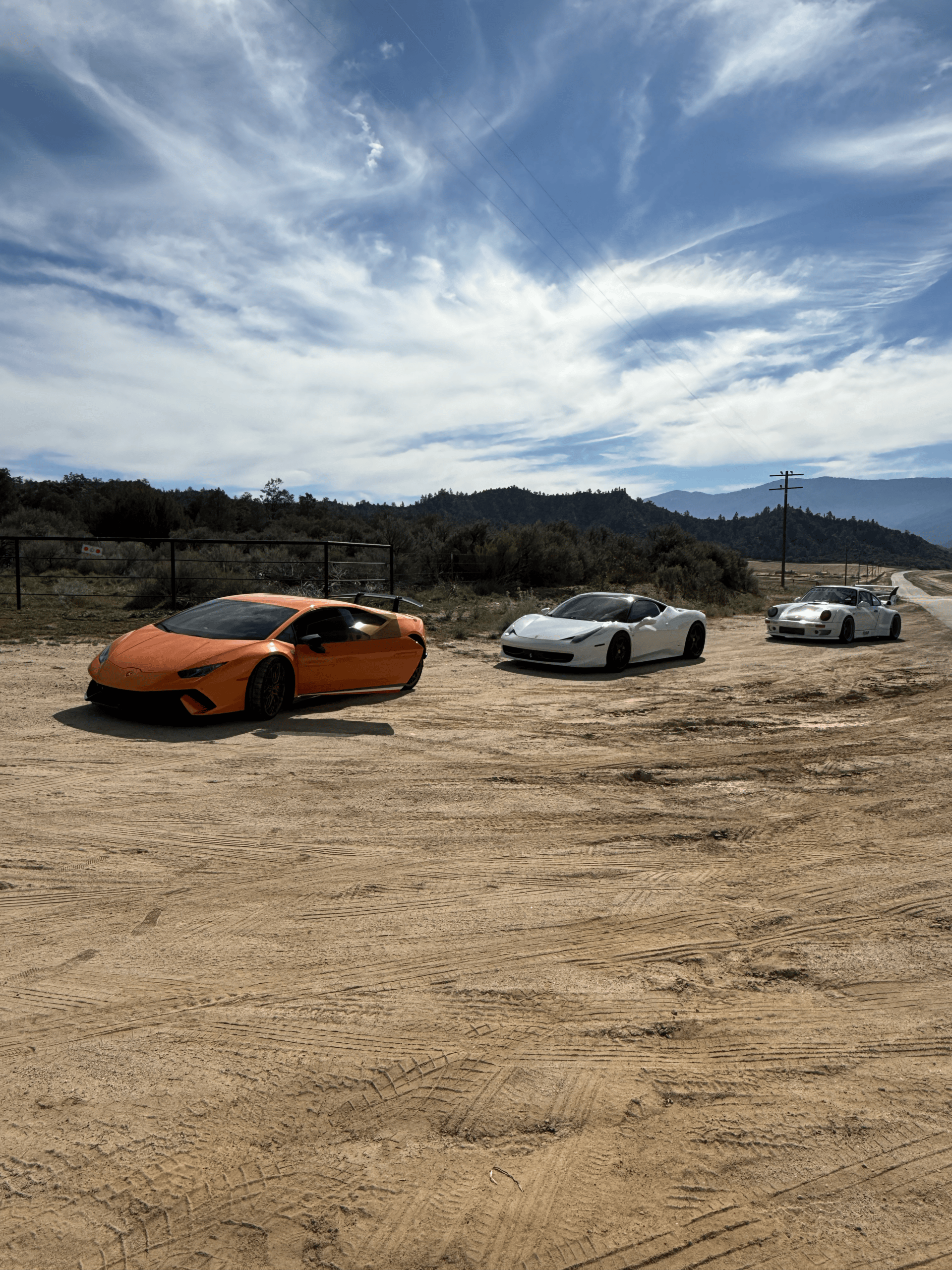
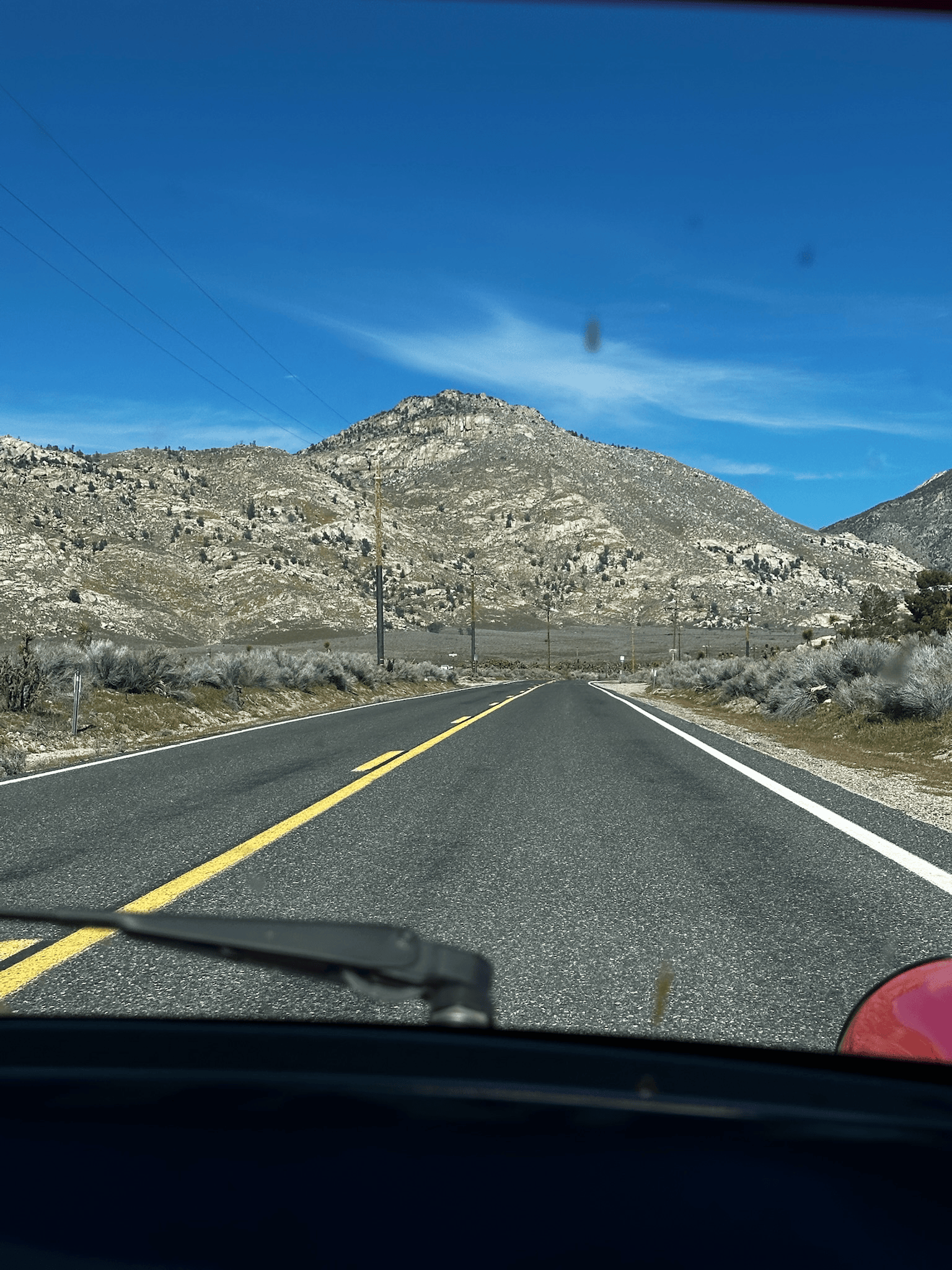
We continued east toward Olancha, near the base of the eastern Sierra. From here, the geography becomes enormous. Mountain ranges stretch north and south. Open desert fills the valleys between them. And traffic becomes increasingly sparse. The route continued toward Stovepipe Wells. Driving into Death Valley National Park is an experience that is difficult to fully capture in photographs. Mountains rise from completely barren valleys, roads disappear toward the horizon and the landscape looks more like another planet than California.
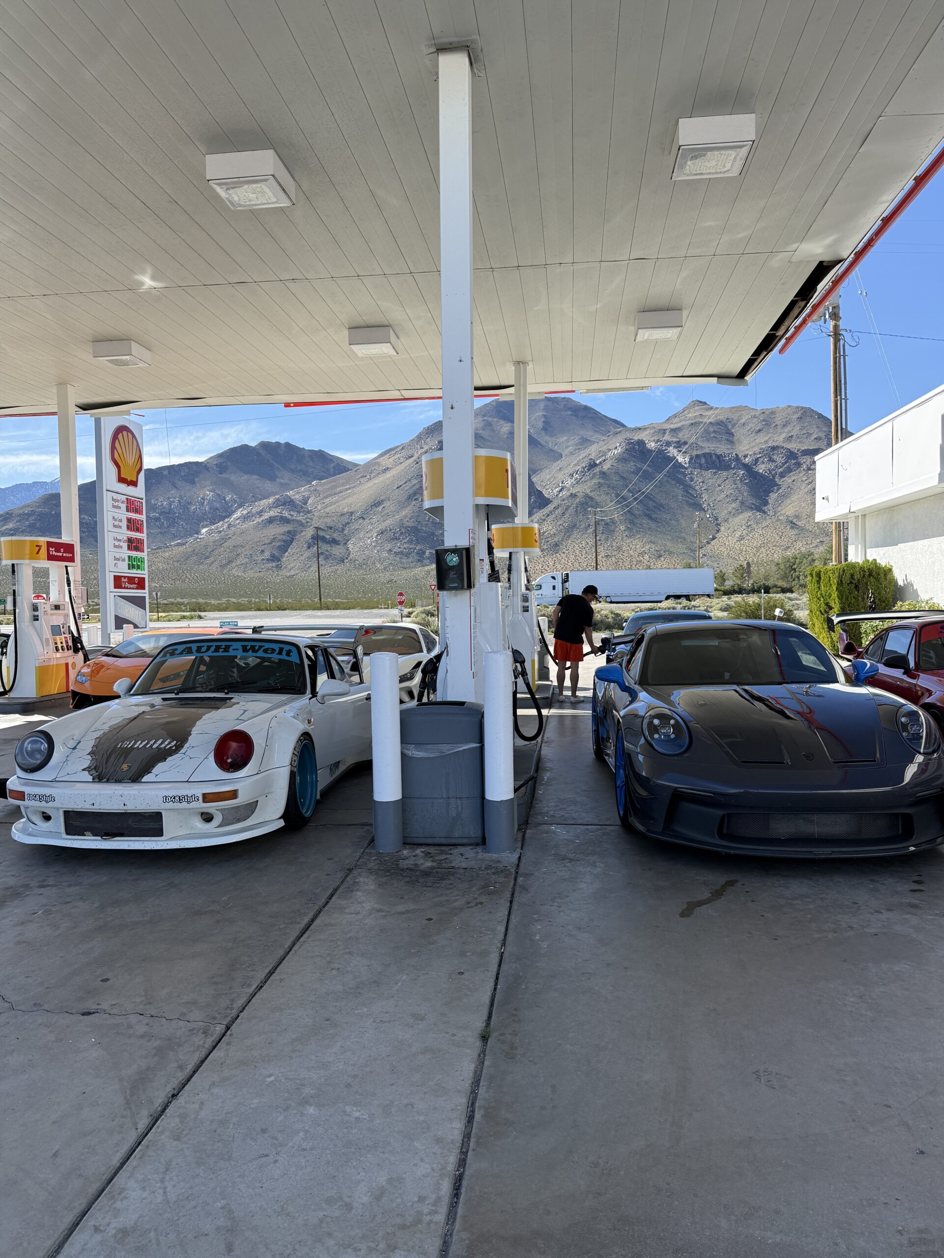
This was the heart of the Desert GT. Our overnight stop was at The Ranch at Death Valley, giving us time to experience the desert rather than simply passing through. When planning a driving trip here, that matters. There is far more to Death Valley than one highway running across it.

Day 3 – Death Valley to Las Vegas
3 Hours 30 Mins | 180 Miles – https://maps.app.goo.gl/S4p4fParUW6fxmBi6
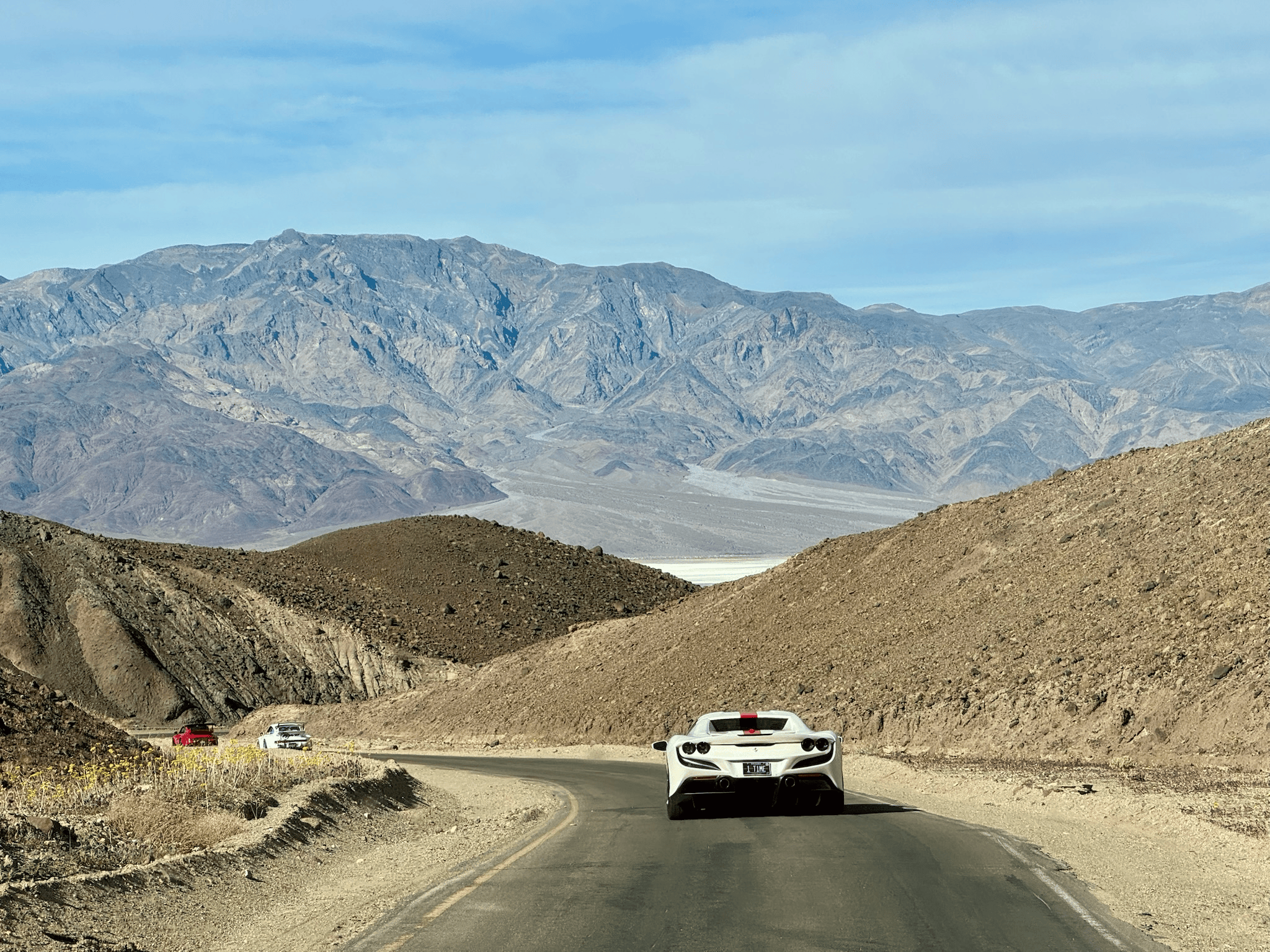
Before leaving Death Valley, we made our way toward Artist’s Palette. The Artist’s Drive area is famous for the multicolored mineral deposits visible across the mountains. Greens, reds, yellows and purples appear across a landscape that otherwise seems almost completely barren. The road itself winds through narrow hills and desert terrain, making the experience as interesting from the driver’s seat as it is from the overlooks. This is a single direction crawling road just to experience. Its about 8 miles long but worth the slow cruise.
Once you exit the Artist’s Palette, you jump back on this 2 lane road towards Badwater. The road parallels the dry lake bed where at some points there is some water. The roads are fast and open, but at some points extremely bumpy. This was one of those places where the cars and landscape seemed made for each other.
But Las Vegas still wasn’t our next immediate stop. We had more desert to cross. Rather than simply leaving Death Valley and heading directly toward Las Vegas, our route continued south through Shoshone and Tecopa. These tiny desert communities sit in one of the least populated corners of California. Eventually, the route began turning toward Nevada.
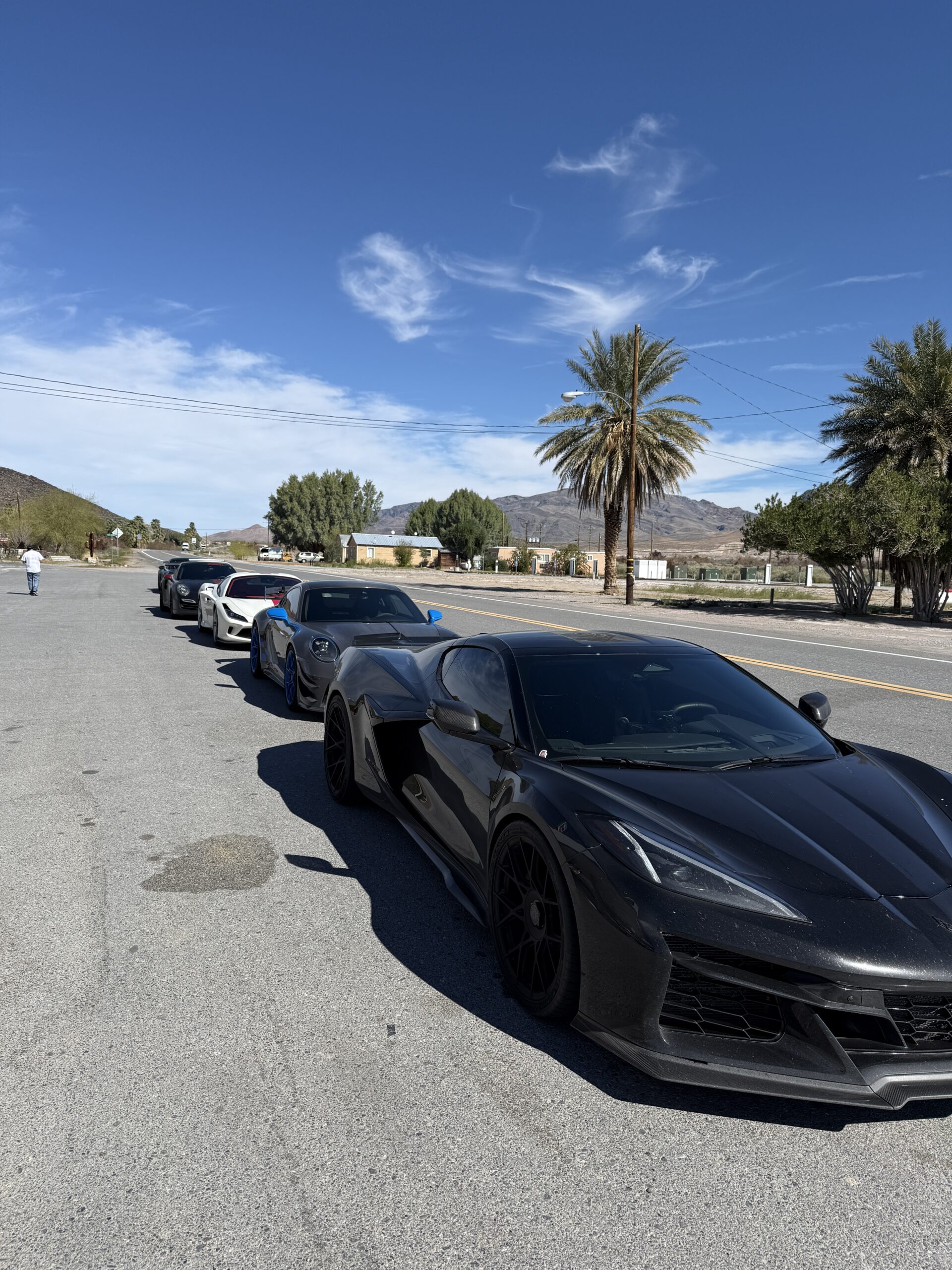
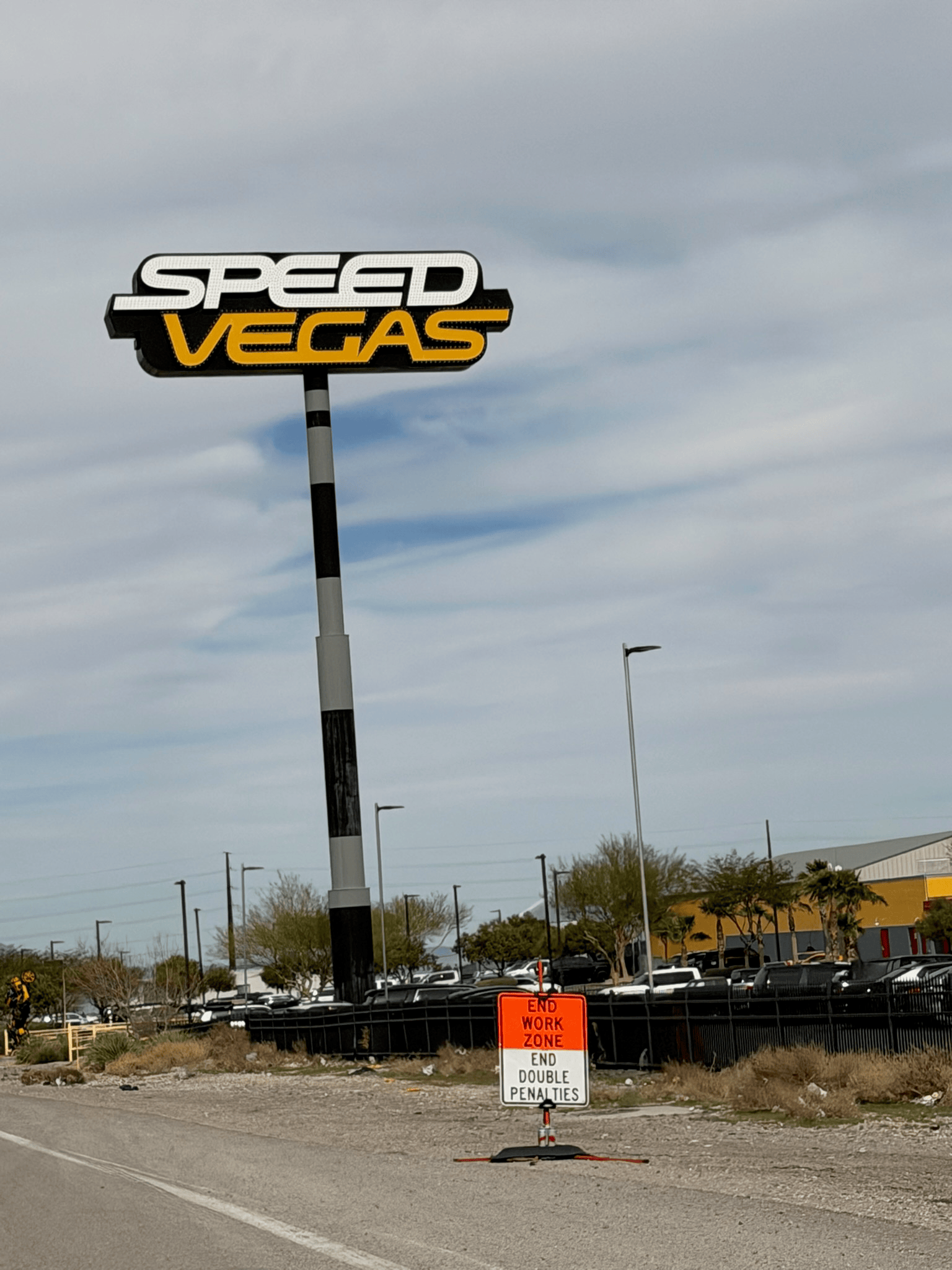
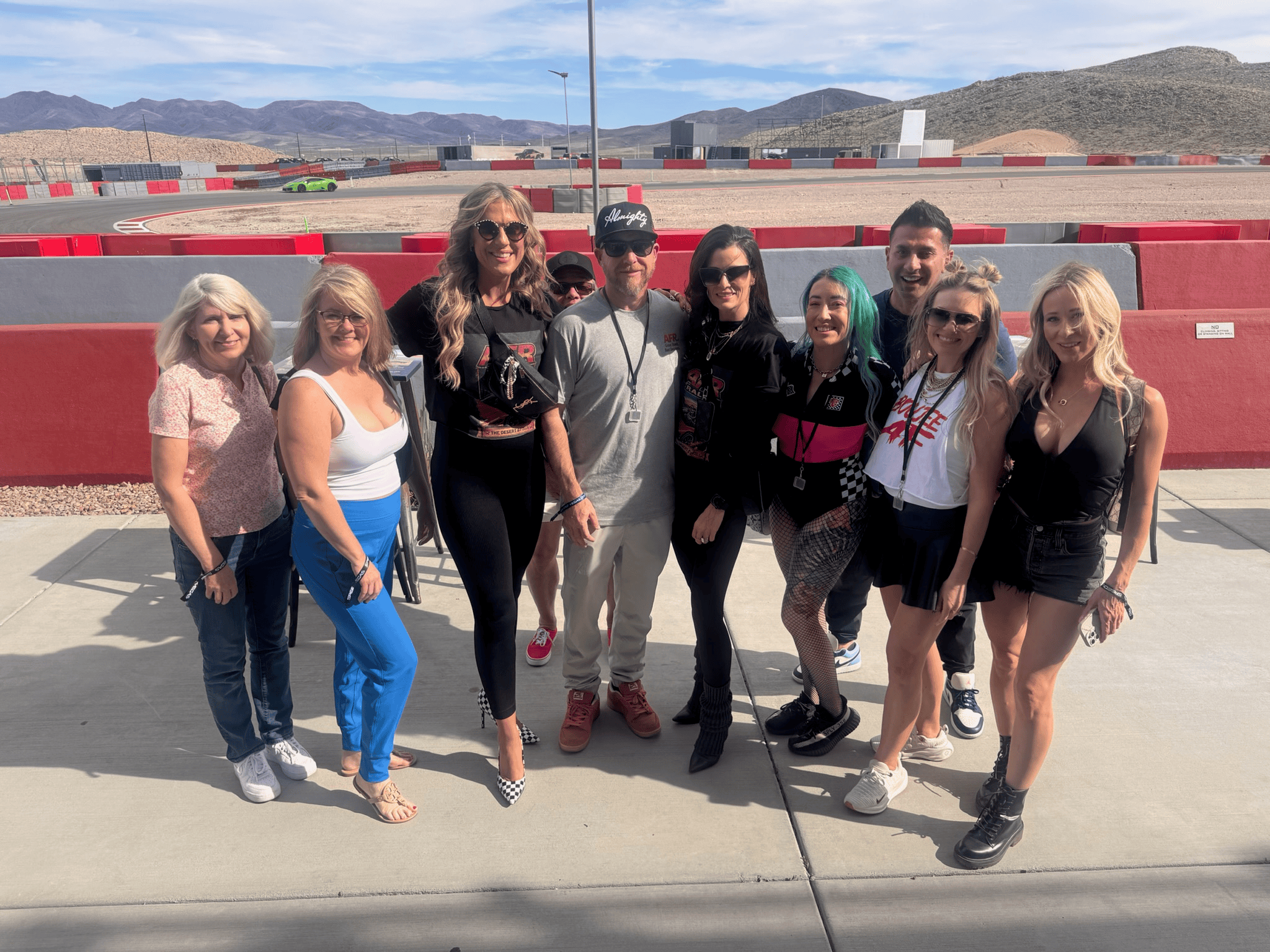
Before reaching the Strip, however, we had one more automotive stop planned. A very different kind of driving. After several days in our own cars, we arrived at SpeedVegas. And changed vehicles. Instead of sports cars and GT cars, it was time for trophy trucks. The off-road experience gave everyone the opportunity to drive something completely different from what we’d been using throughout the rally. Big suspension travel. Loose terrain. Jumps. Dirt. And a driving style that has almost nothing in common with carving through CA-74 or Angeles Forest Highway.
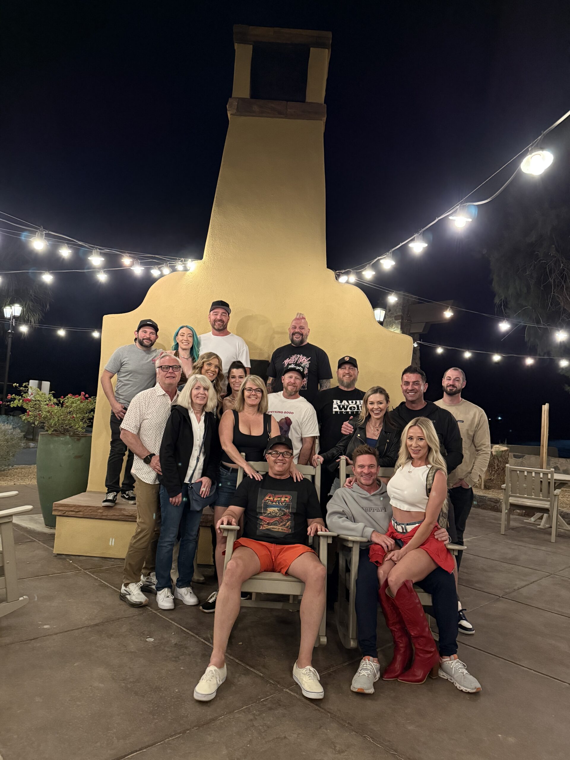
From SpeedVegas, the final destination was obvious. Las Vegas. We checked into Park MGM, parked the rally cars and officially brought the driving portion of the Desert GT to a close. Palm Springs already seemed like a long time ago.
Over the course of the tour we had traveled from the Coachella Valley into the San Jacinto Mountains, crossed Southern California’s mountain roads, reached the Pacific Ocean in Santa Barbara, crossed California again through the Sierra, descended into Death Valley, driven through remote desert communities and eventually arrived beneath the lights of Las Vegas. It was difficult to imagine a more dramatic finish.
Planning Your Own Palm Springs to Las Vegas Grand Tour
You can recreate much of the Desert GT, but this is one route where preparation matters.
Especially once you leave the populated portions of Southern California.
The biggest considerations are fuel, weather, road conditions and temperature.
Mountain roads throughout Southern California can close because of storms, fires, rockslides and seasonal damage.
Death Valley presents an entirely different challenge.
Extreme summer temperatures can be dangerous for both people and cars.
Before attempting the route, check current conditions for every major mountain and national park section.
And don’t treat half a tank as half full once you’re approaching remote desert areas.
Treat it as an opportunity to fill up.
What Kind of Car Should You Take?
The Desert GT was built around enthusiast cars, but you don’t need an exotic to enjoy this route.
In fact, versatility matters more than outright horsepower.
You’ll encounter mountain switchbacks, long desert highways, elevation changes and sections where pavement conditions may vary.
A good GT car is almost ideal.
Something comfortable enough to cover several hundred miles in a day but entertaining enough to make CA-74 and the mountain roads worthwhile.
Cooling systems, tires and brakes should all be in good condition before heading into the desert.
This isn’t the place to discover a maintenance issue you’ve been meaning to address.
Four Completely Different Californias
What made the AFR Desert GT special wasn’t one famous road.
It was how quickly the environment changed.
Palm Springs gave us the classic Southern California desert.
CA-74 and Angeles Forest Highway gave us mountain roads.
Santa Barbara put us beside the Pacific Ocean.
Lake Isabella and the Sierra brought us back into rugged mountain country.
Death Valley delivered some of the most extreme scenery anywhere in North America.
And Las Vegas provided a finish that needed absolutely no explanation.
Most people experience these places as separate vacations.
We connected them with a steering wheel.
Why We Drive
A map can tell you the quickest way from Palm Springs to Las Vegas.
It’s approximately the opposite of the AFR Desert GT.
Our route went west when Las Vegas was east.
We drove to the Pacific Ocean before turning back toward the desert.
We crossed mountain ranges that could have been avoided.
We went through towns most travelers will never see.
We drove into one of the most remote regions in California.
Then we climbed into trophy trucks and finished the whole thing in Las Vegas.
Efficient?
Not particularly.
Memorable?
Absolutely.
That’s why we take the long way.
