
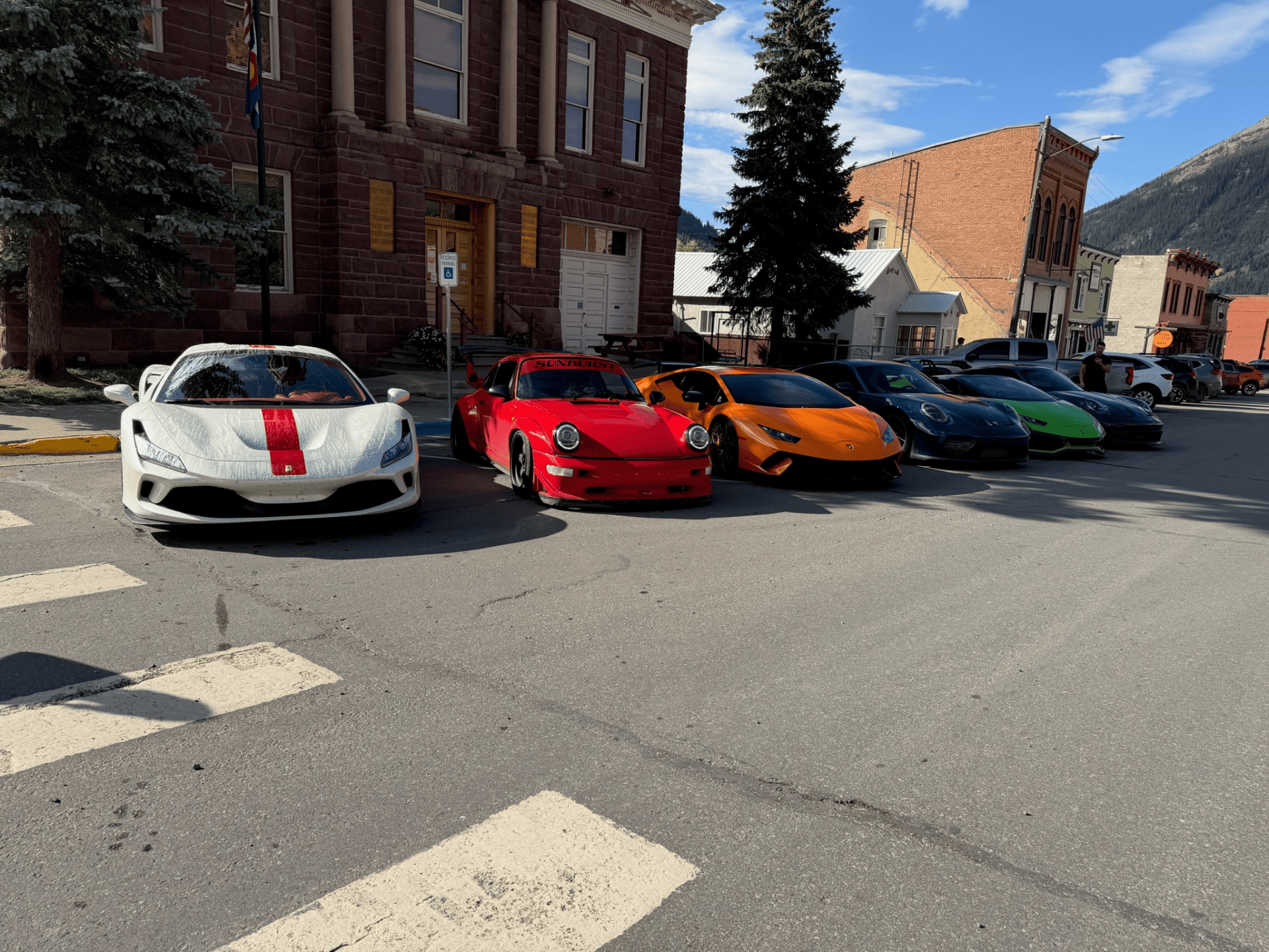
Some road trips are built around a single famous highway. The AFR Ascent Tour was built around something bigger. Elevation. We started in the Arizona desert, climbed into the forests of eastern Arizona, crossed into New Mexico, continued north through Santa Fe and Durango, pushed into the San Juan Mountains of Colorado, and finally dropped into the red-rock landscape of Moab, Utah.
The route connected four completely different environments over four driving days:
Gilbert → Greer → Santa Fe → Silverton → Moab.
Day 1 – Gilbert to Greer
7 Hours | 336 Miles – https://maps.app.goo.gl/dgY8bN4uGbgv96yv6
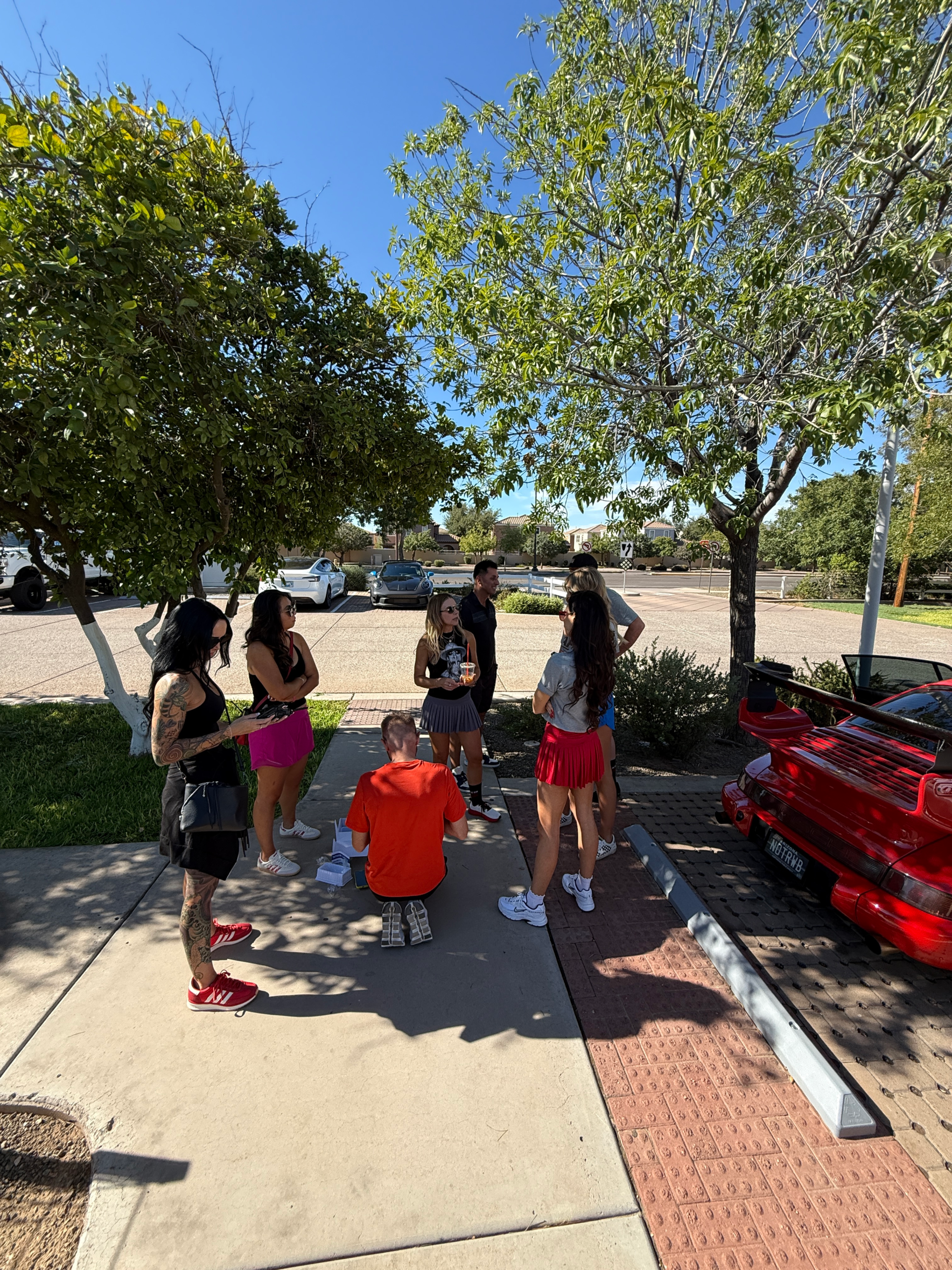
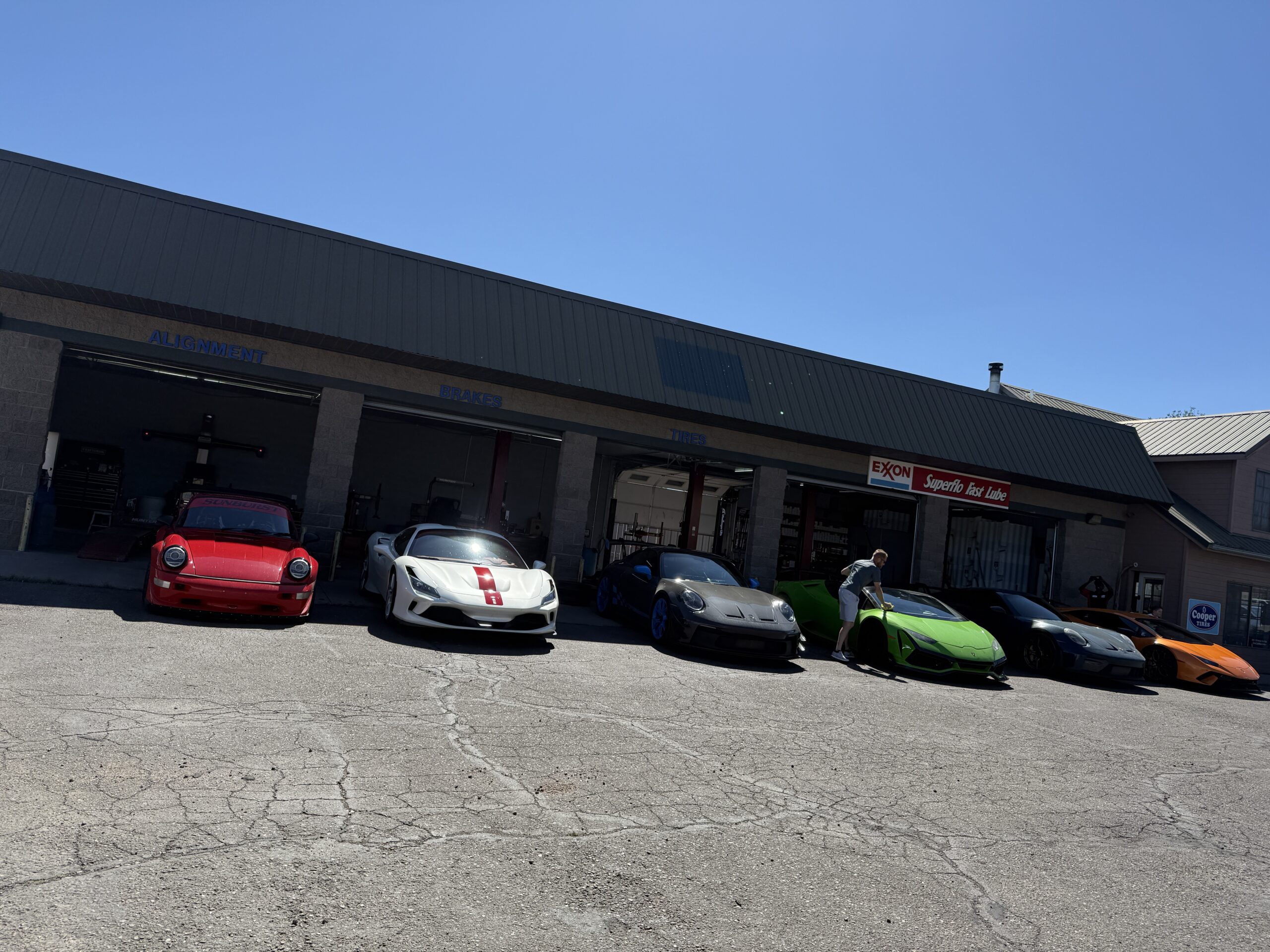
The tour began in Gilbert, Arizona, with an early departure toward eastern Arizona. Our group met up at The Coffee Shop to enjoy some gourmet breakfast and drinks. Once everyone was ready, we headed east. The first day’s route gradually traded desert highways for mountain roads as we worked our way toward Morenci and the higher elevations of the White Mountains.
Eastern Arizona doesn’t get the attention that places like Sedona and the Grand Canyon receive, but for a driving tour, that can be a good thing. The farther east we traveled, the lighter traffic became and the more dramatic the scenery grew. Our route brought us through Morenci, where they have one of the worlds largest copper mines. The massive open-pit copper mining operation dominates the landscape, creating one of the most unusual roadside environments in Arizona.
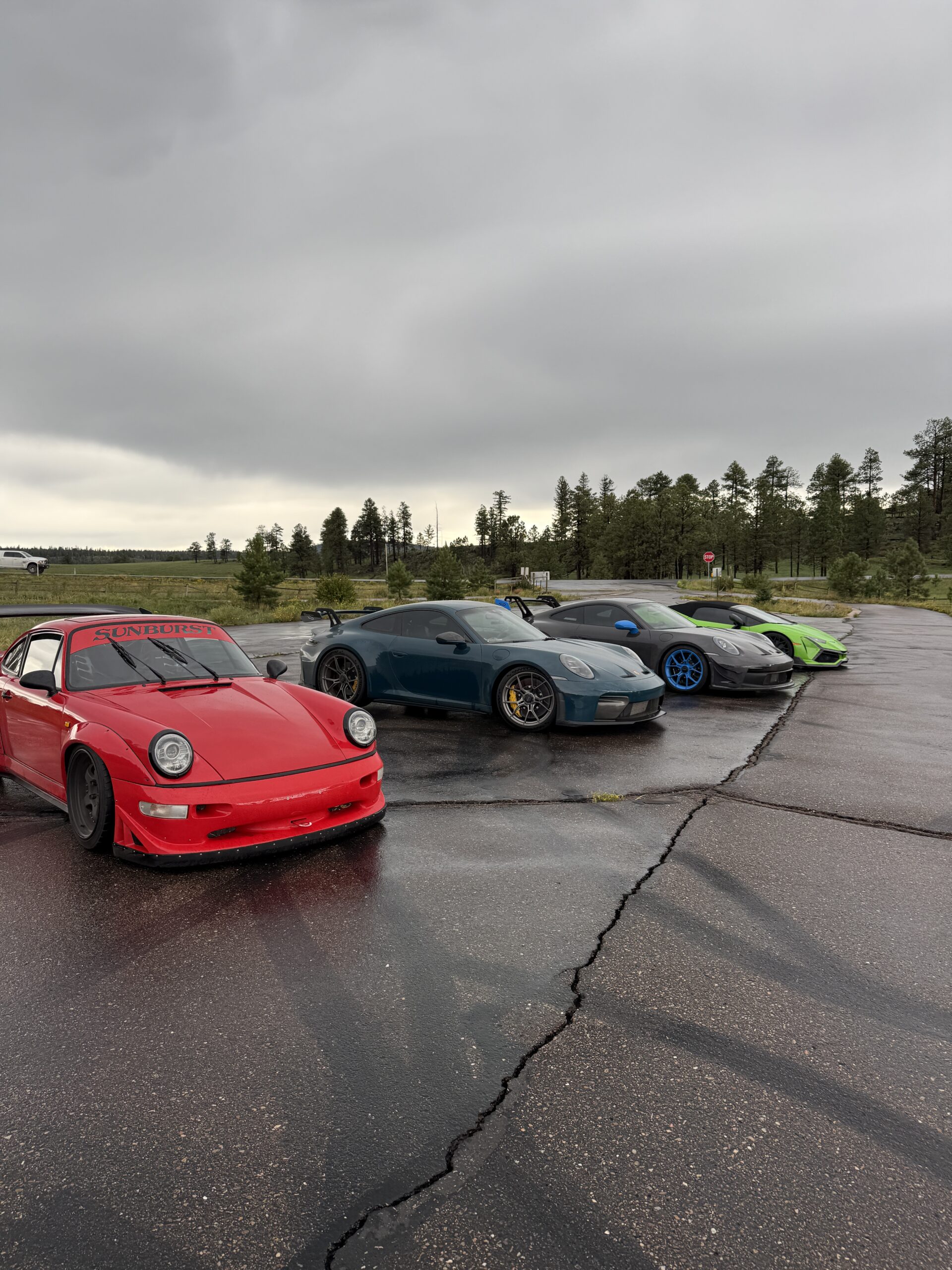
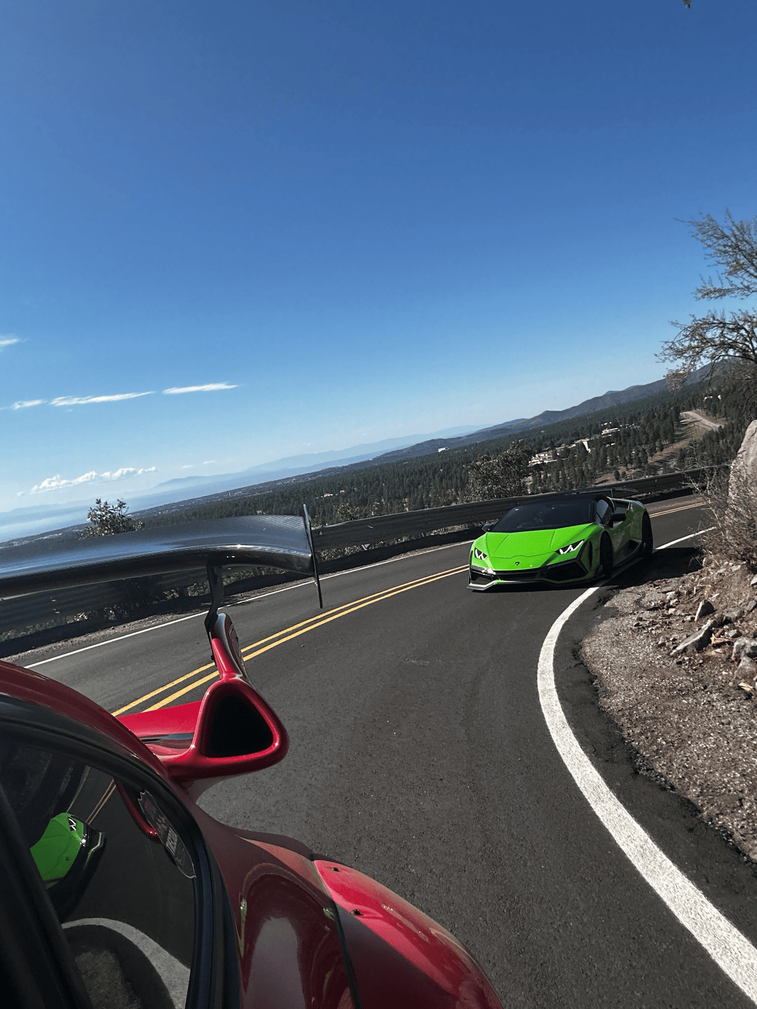
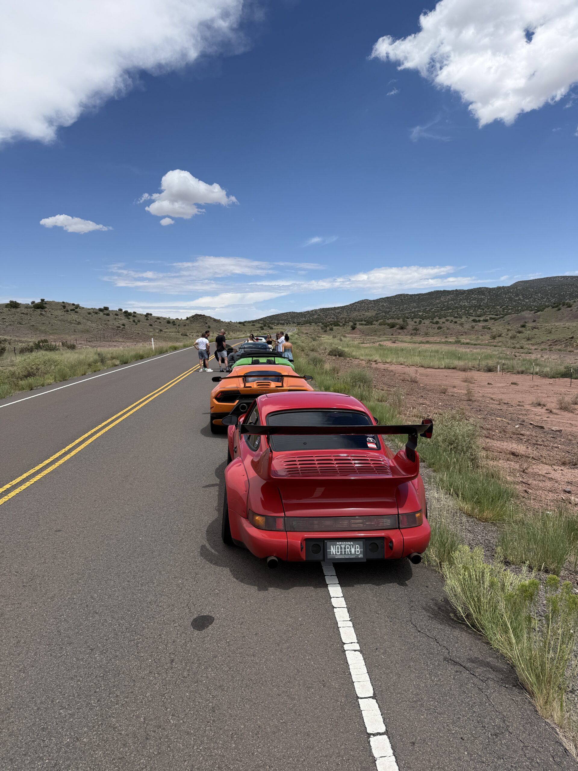
From there, the route continued upward. The desert disappeared. Temperatures dropped. Pine forests took over. We were now on the famous Devils Highway also known as US-191. Formerly called Rte 666 is where it got its name is one of the best driving roads in the country. You have roughly 100 miles of twisty roads and fast forest sections that keep you on your toes. This stretch of highway rivals Tail of the Dragon in some sections. The best part about it is how remote it is. So traffic is always light.
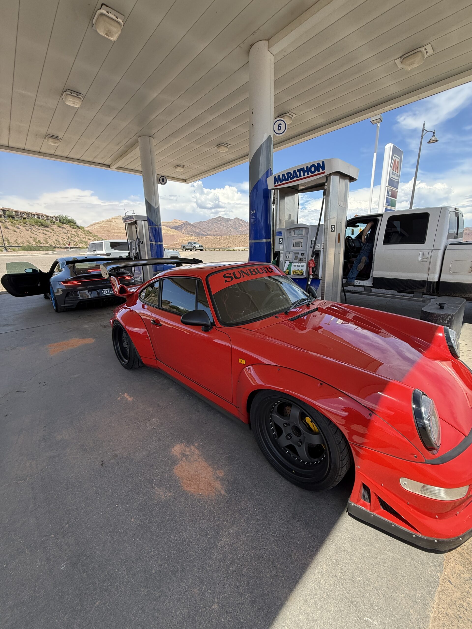
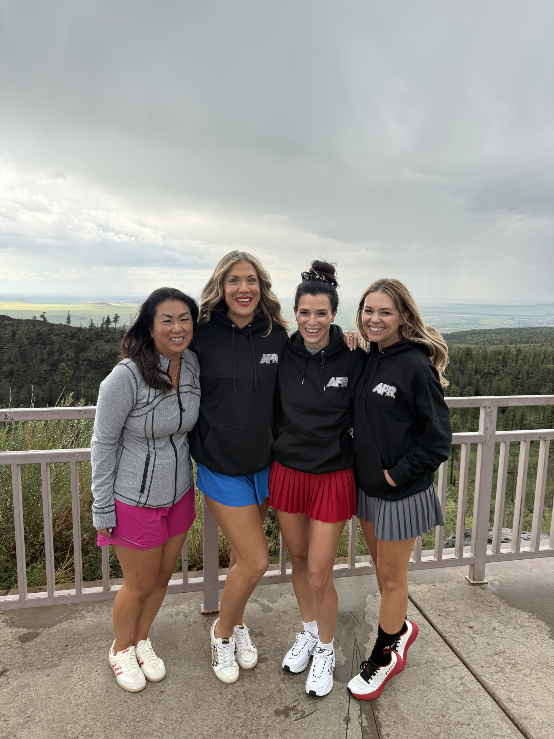
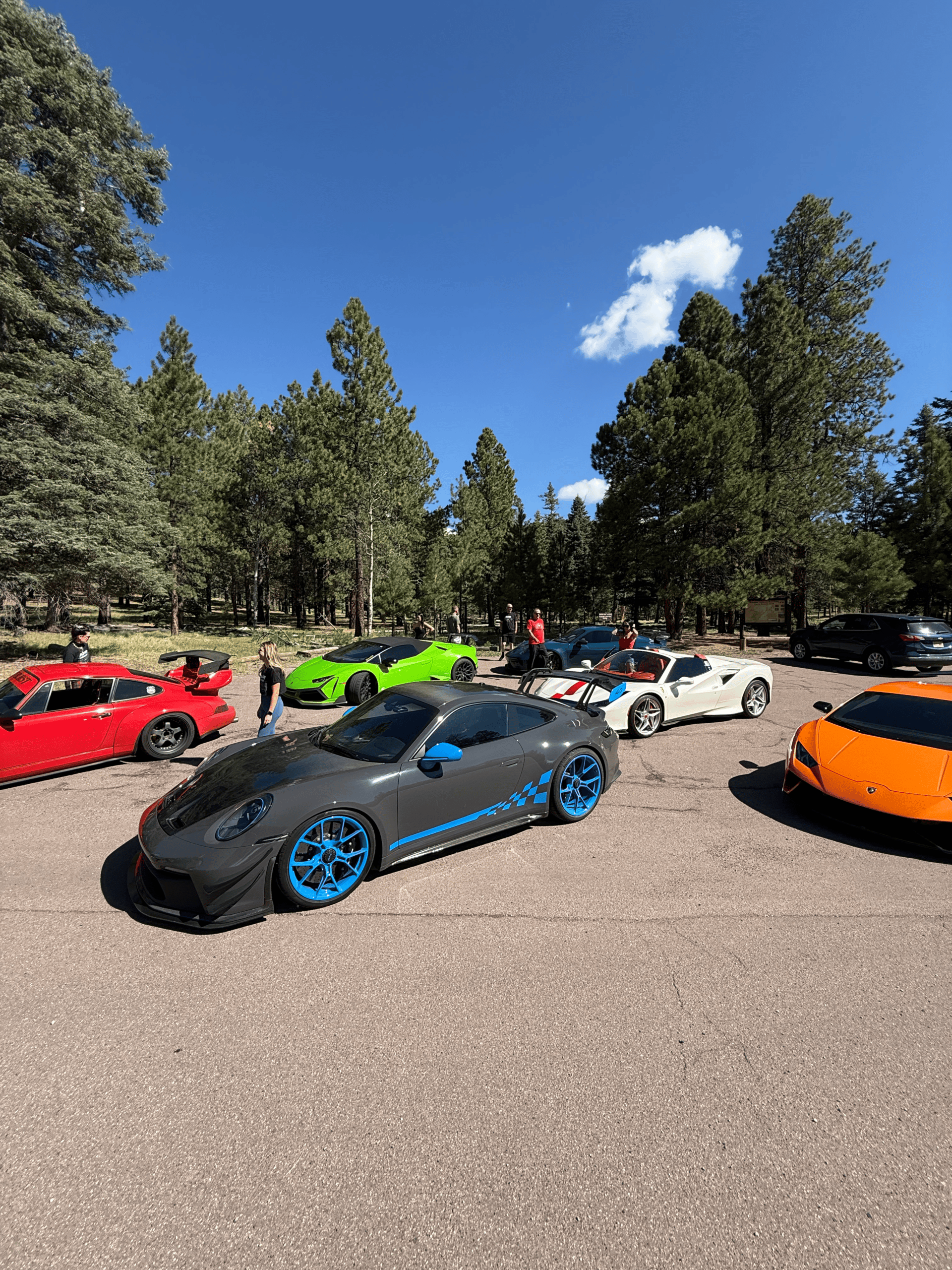
Once we reached Alpine for a fuel stop, we continued on Three Forks Rd towards Big Lake and connected with the 261 to stop at Point of the Mountain Overlook. This entire section of roadway is high up in the mountains and usually closed all winter. Full of fast sweeping turns, its a good rest from the intensity of US-191 but still a lot of fun. After the overlook, its a short drive into the little cabin town of Greer. We stayed at the Edelweiss Resort which feels like a German Chalet and was perfect walking distance to dinner at Open Range part of The Lost Resorts. Greer sits at roughly 8,500 feet of elevation and feels much more like a small Rocky Mountain community than what most visitors imagine when they think of Arizona.
Day 2 – Greer to Santa Fe
6 Hours | 345 Miles – https://maps.app.goo.gl/bLpG4DXC7EY4EdkbA
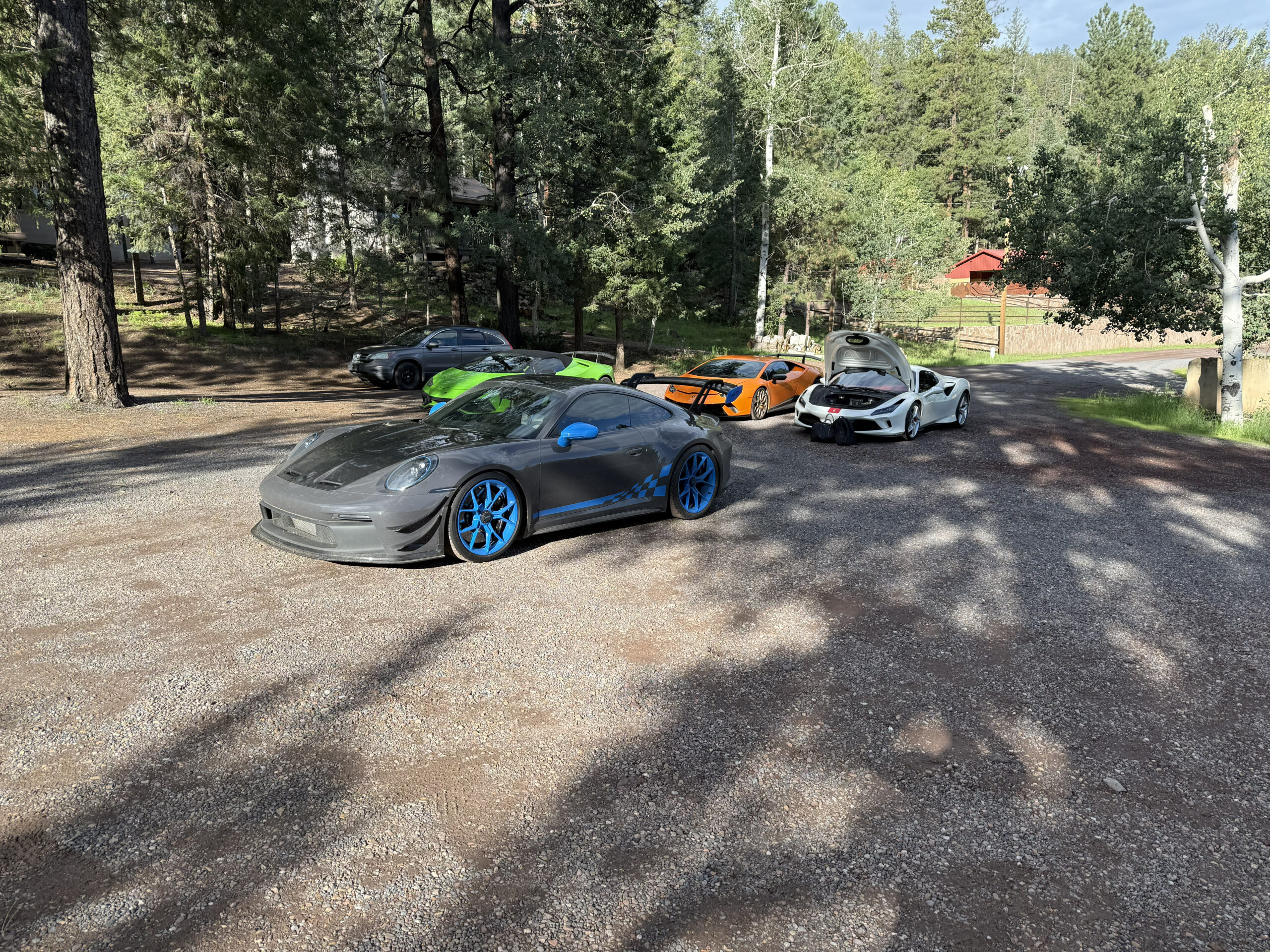
Day Two took us out of Arizona and into New Mexico. We left Greer later in the morning and continued through some of the most remote areas of the Southwest. This section of the trip wasn’t about major cities or crowded attractions. It was about distance, open landscapes, small towns and watching the terrain change mile after mile.
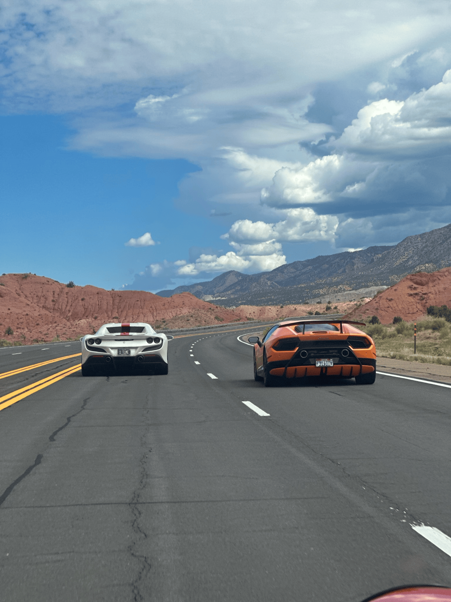
From Greer all the way to Datil is extremely fun to drive. You are still up in the pines with twists and turns throughout. We originally wanted to head North from Magdalena, but realized after an hour of driving that this turns into a dirt road. Unfortunately with our cars, this just isn’t going to work. So from Magdalena to Santa Fe, sit back, turn cruise control on, as you are now pounding the freeway on I-25.
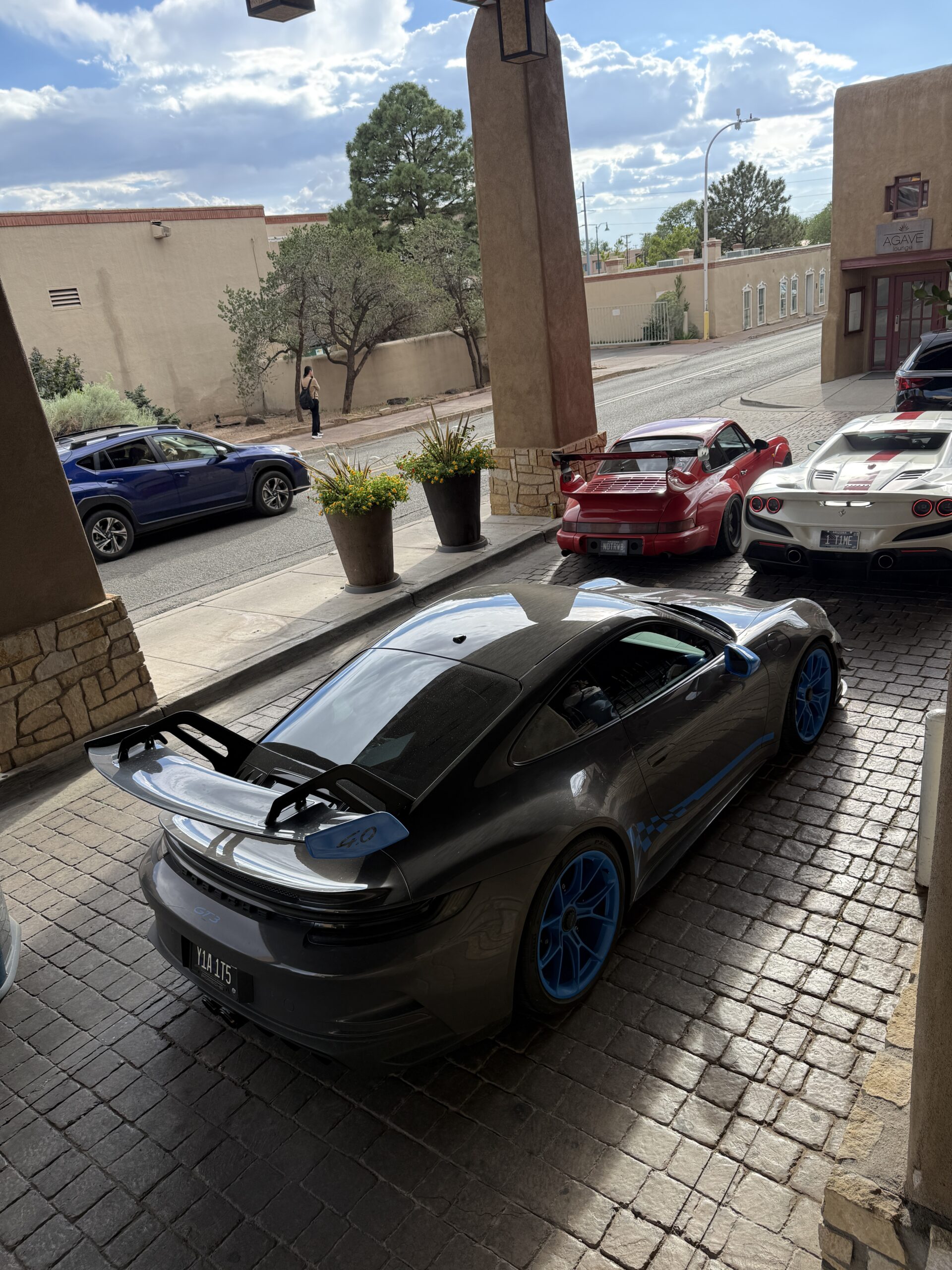
Santa Fe is one of the most distinctive cities in the Southwest. Adobe architecture, narrow streets, galleries, historic buildings and a strong Southwestern identity make it feel completely different from nearly every other city in the region. We stayed at the Eldorado Hotel & Spa, putting us within walking distance of downtown. After a full day on the road, the cars stayed parked for the evening. Dinner was at Coyote Cafe, one of Santa Fe’s best-known restaurants.
The combination of a great driving day and a destination where everything could be explored on foot made Santa Fe an ideal midpoint for the trip. But the following morning was when the Ascent Tour truly started earning its name. We were heading for Colorado.

Day 3 – Santa Fe to Silverton
7 Hours | 361 Miles – https://maps.app.goo.gl/iNSs2xVCYXS7JrLz5
We departed Santa Fe early and headed north. The terrain quickly had us climbing into the mountains for some very fun 2 lane roads. From the NM 502 in White Rock till the NM 4 in Jemez Springs is nothing but asphalt carving. Once we dropped back on to the NM 550, it was open reservation land with 2 lane highway.
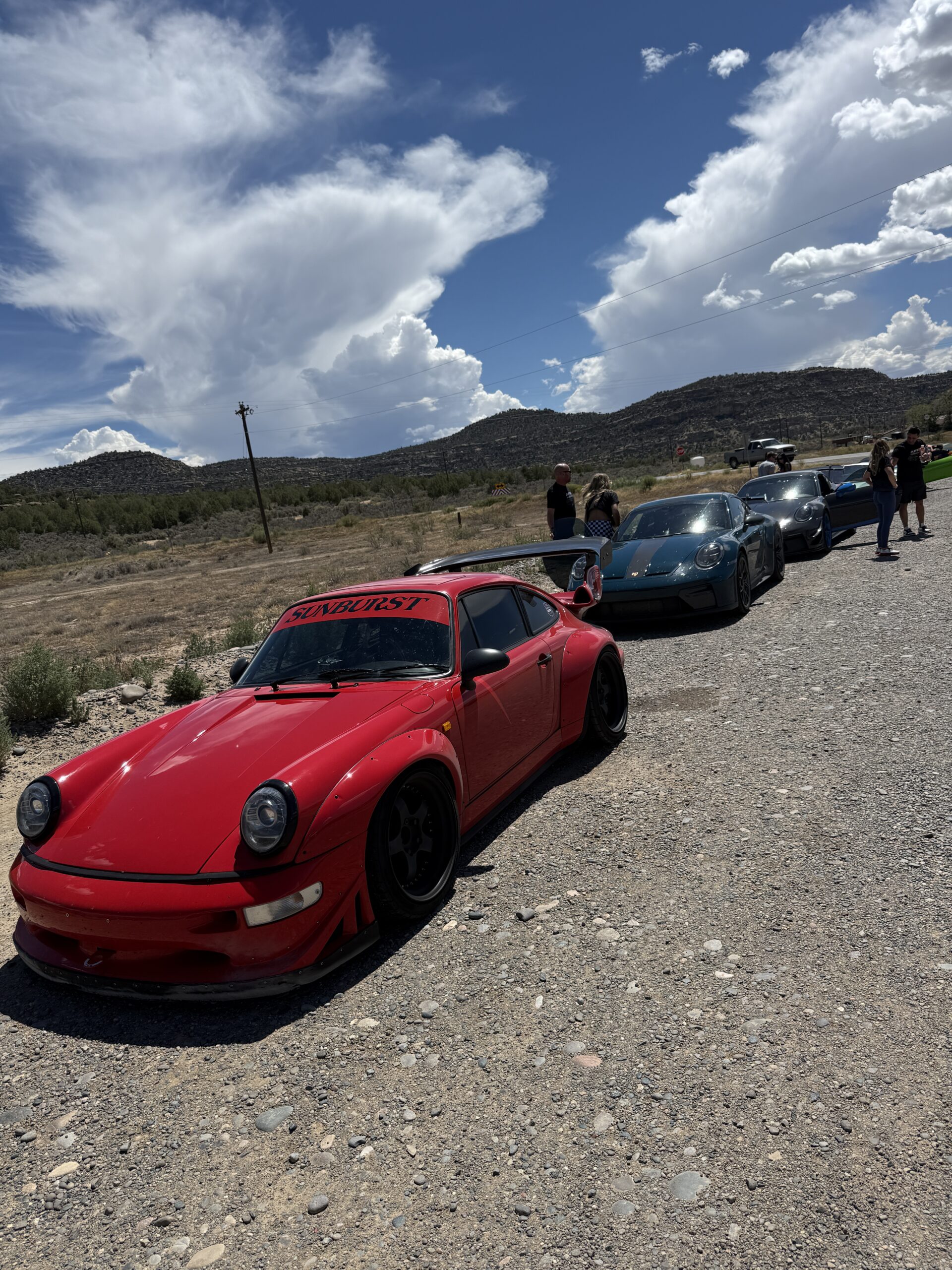
Our next stop was the Navajo Dam where we took a short bypass on NM 539. At first this seemed like it was not meant for cars but quickly opened up as it bypassed about 45 mins of roads. At the top of the Dam we veered off and went to The Sportsman Bar & Grill for lunch which was the only place around and well worth it. After some good small town grub, we headed back out with our next checkpoint in Durango.
Colorado changes the scale of the trip. Once you cross over the border in La Boca, the terrain quickly changes. Mountains become larger. Valleys become tighter. Roads begin climbing higher. And the scenery becomes increasingly dramatic as you approach Durango. If you have the time, Durango is a great place to stop and see things, but we were headed to our final destination in Silverton.
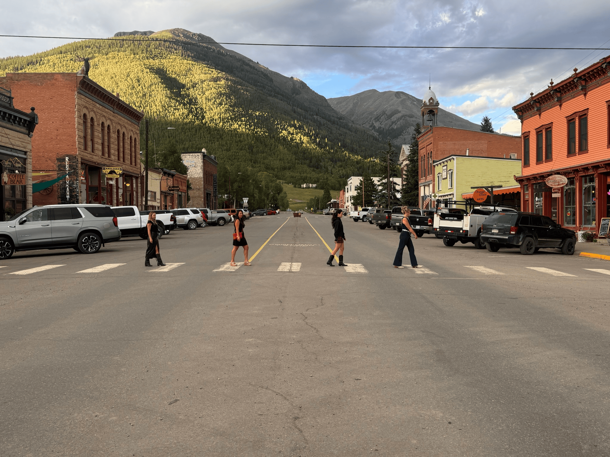
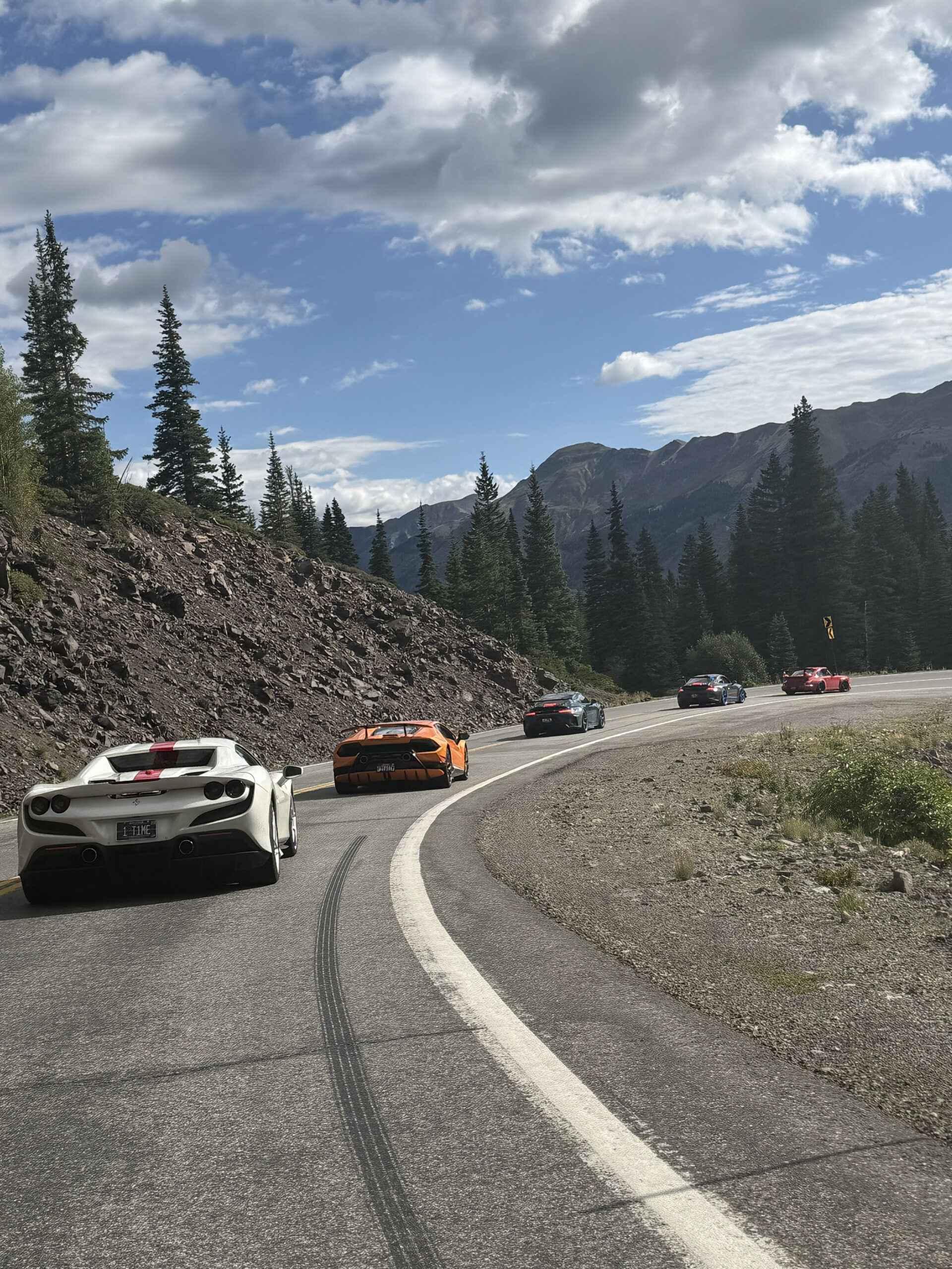
The route from Durango toward Silverton delivers exactly what you’d hope for from a Colorado driving road. Long climbs. Mountain passes. Forested valleys. Rock walls. Open views across the San Juans. This is the kind of road where the destination almost becomes secondary to the drive itself. Elevation continues increasing until you arrive in Silverton at more than 9,000 feet above sea level. The former mining town sits surrounded by mountains in every direction. There are very few places in America where a road trip destination feels this isolated while still being accessible by an incredible paved highway.
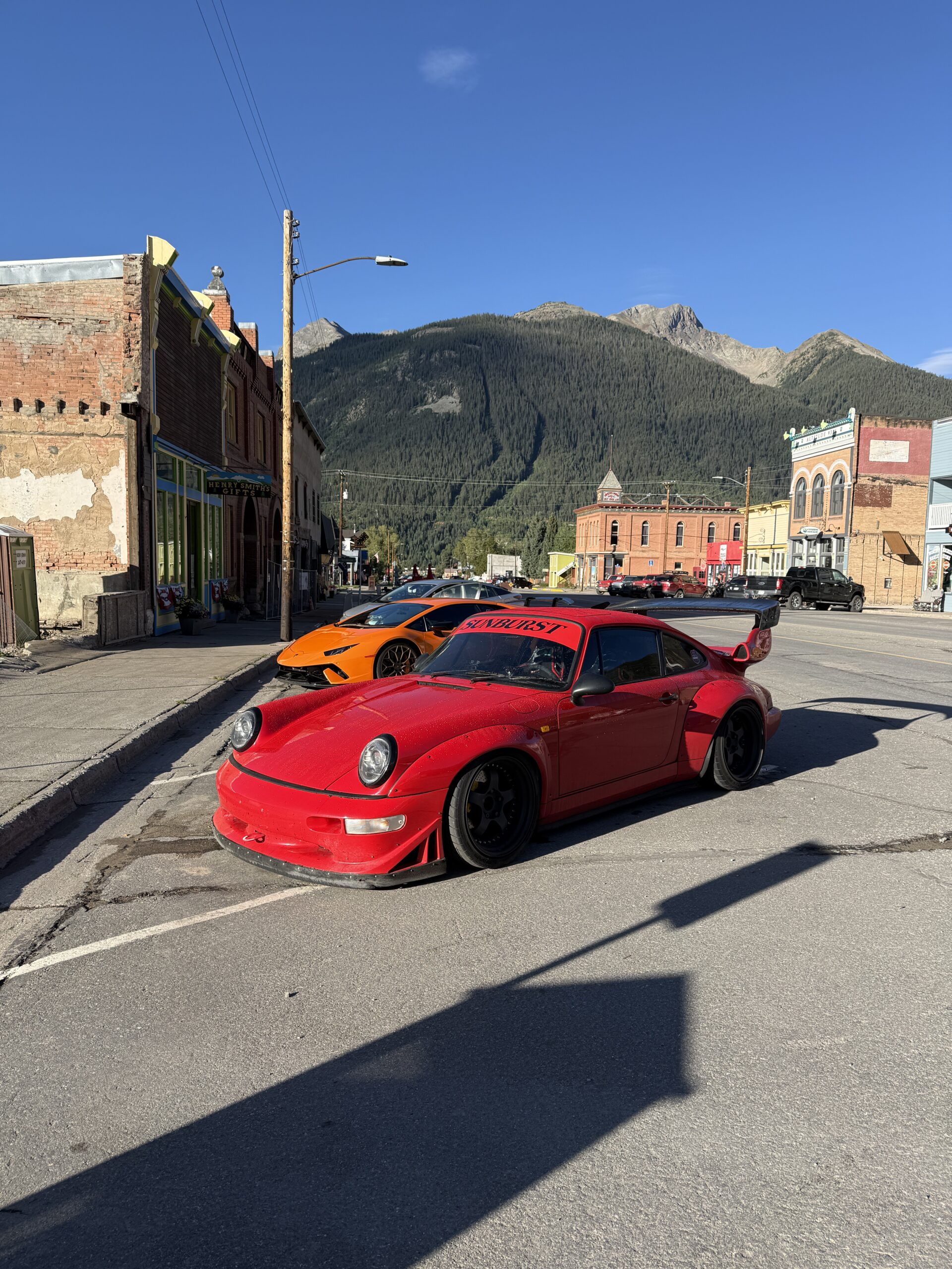
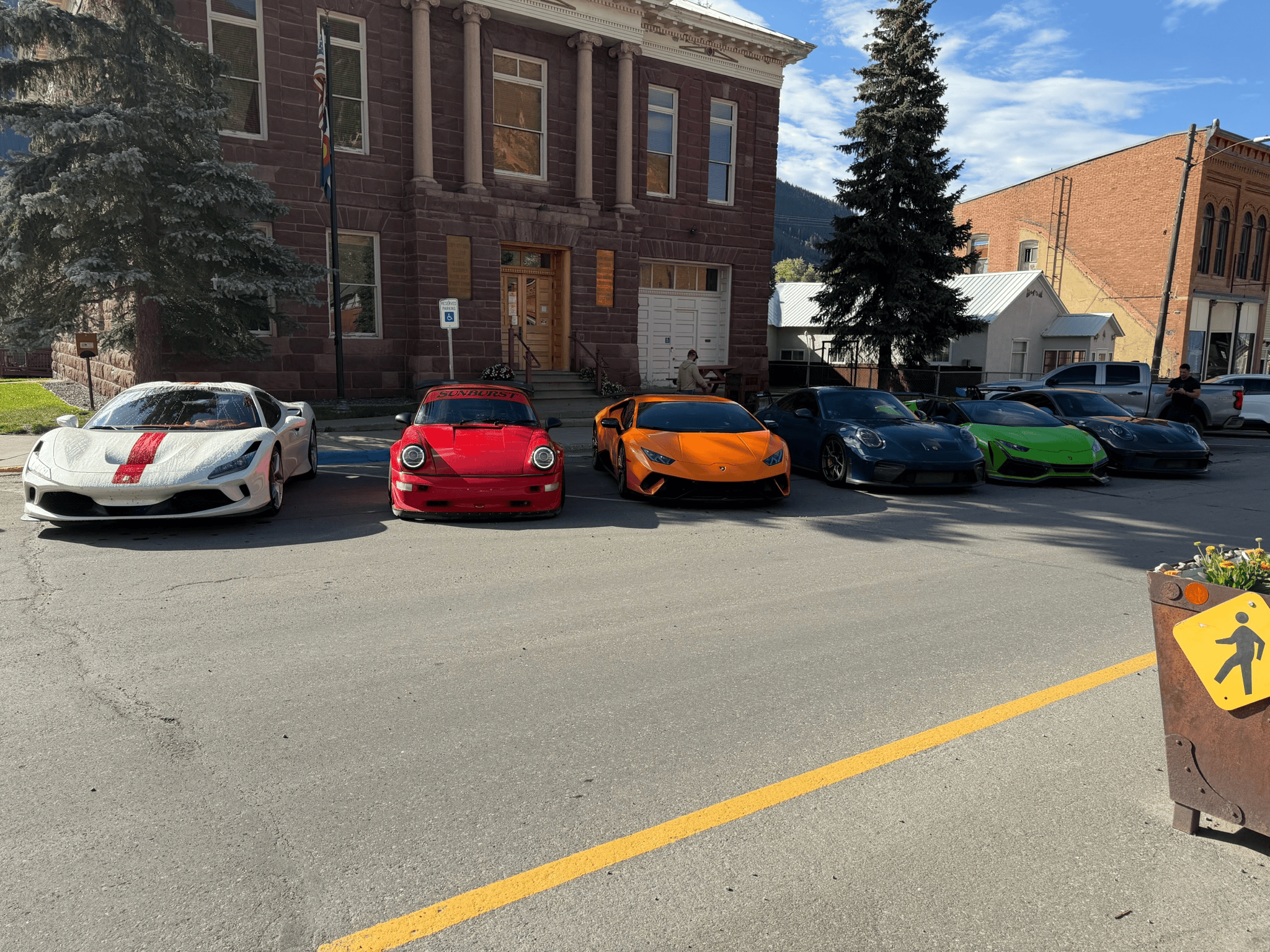
We stayed at the historic Grand Imperial Hotel in downtown Silverton. The hotel dates back to Silverton’s mining era and fits the town perfectly. You park the cars and step into what feels like a completely different period of the American West. For dinner, we headed to Handlebars Restaurant & Saloon. After starting the rally in Arizona desert heat, spending the evening in an old Colorado mining town surrounded by high peaks felt like a pretty dramatic change.
Day 4 – Silverton to Moab
3 Hours 50 Mins | 175 Miles – https://maps.app.goo.gl/1inATD17uS33caFCA
The final driving day took us from the mountains of Colorado into the red-rock desert of Utah. This is one of the best visual transitions of the entire tour. You begin the morning surrounded by alpine terrain. By afternoon, you’re looking at enormous sandstone cliffs and desert canyons.
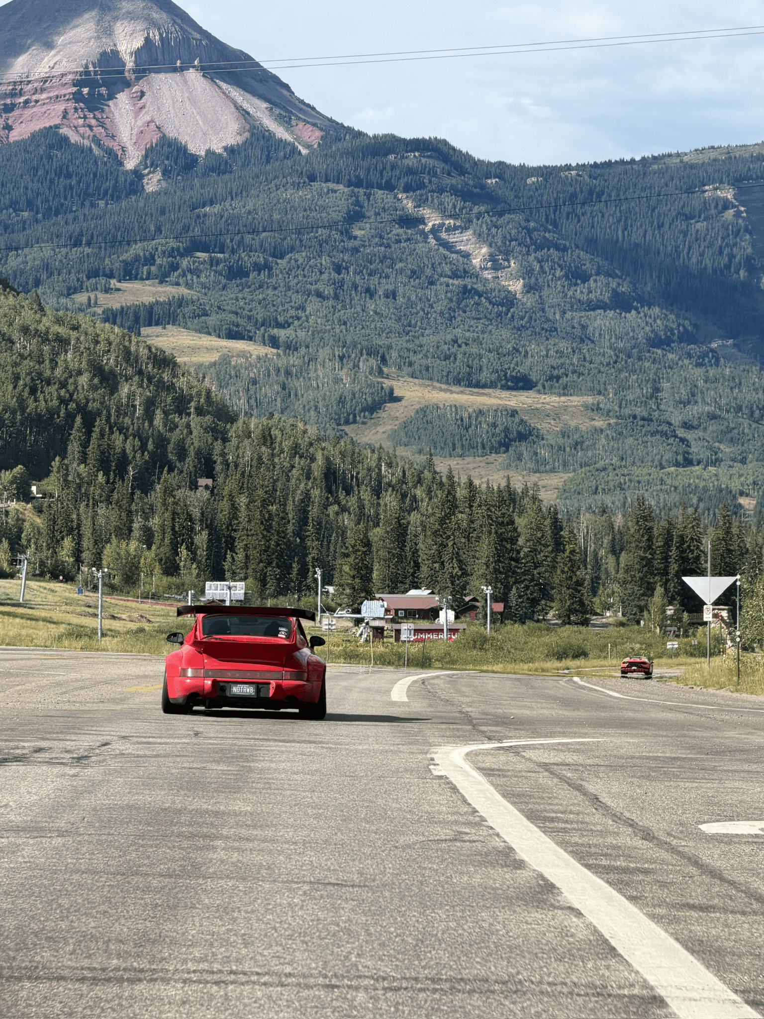
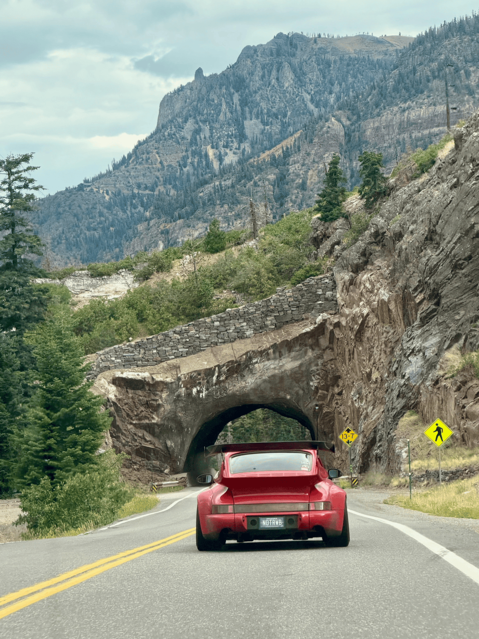
From Silverton, we worked our way out of the mountains driving on the very famous and dangerous Million Dollar Highway. This stretch of road connects Silverton to Ouray and literally carved into the side of the mountain with share cliffs on one side. The views are insane and the speed is slow, but well worth the pace. The elevation gradually dropped, forests opened up and the landscape became drier.
The closer we got to Utah, the more the scenery began to resemble the American desert again. But this wasn’t the same desert we’d left behind in Arizona. Moab has a landscape entirely its own. The drive to Moab is full of high paced 2 lane roads carving in and out of the hills. Going through the towns of Norwood, Redvale, and Naturita are all filled with excitement behind the wheel.
Once you reach La Sal, the final leg is closer than you know it. Few road-trip destinations announce themselves as dramatically as Moab, Utah. Massive red-rock formations rise on both sides of the highway as you enter the region. The entire area looks like it belongs in a Western movie. For the Ascent Tour, Moab was more than just the final hotel stop. We had one last adventure planned.
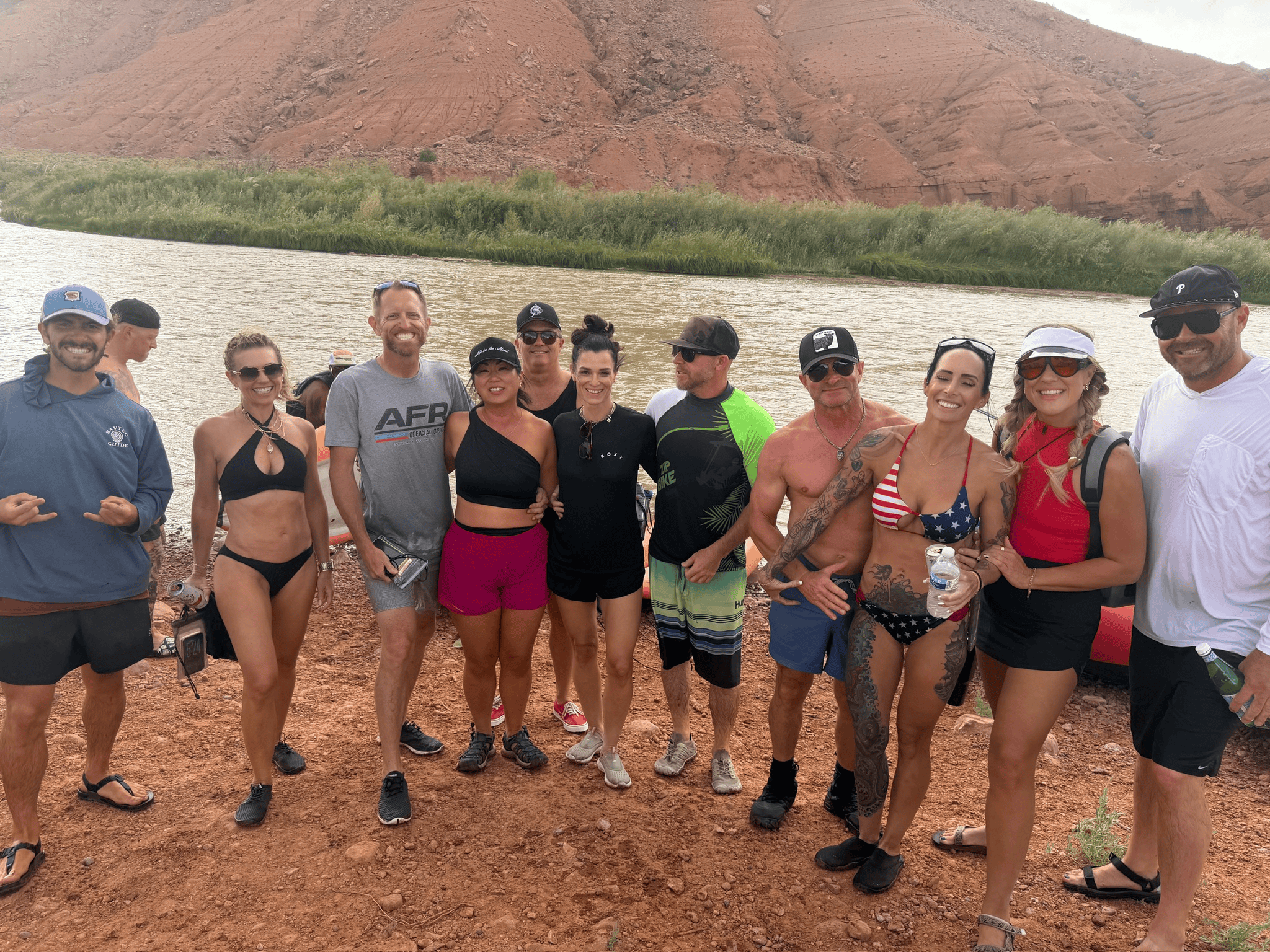
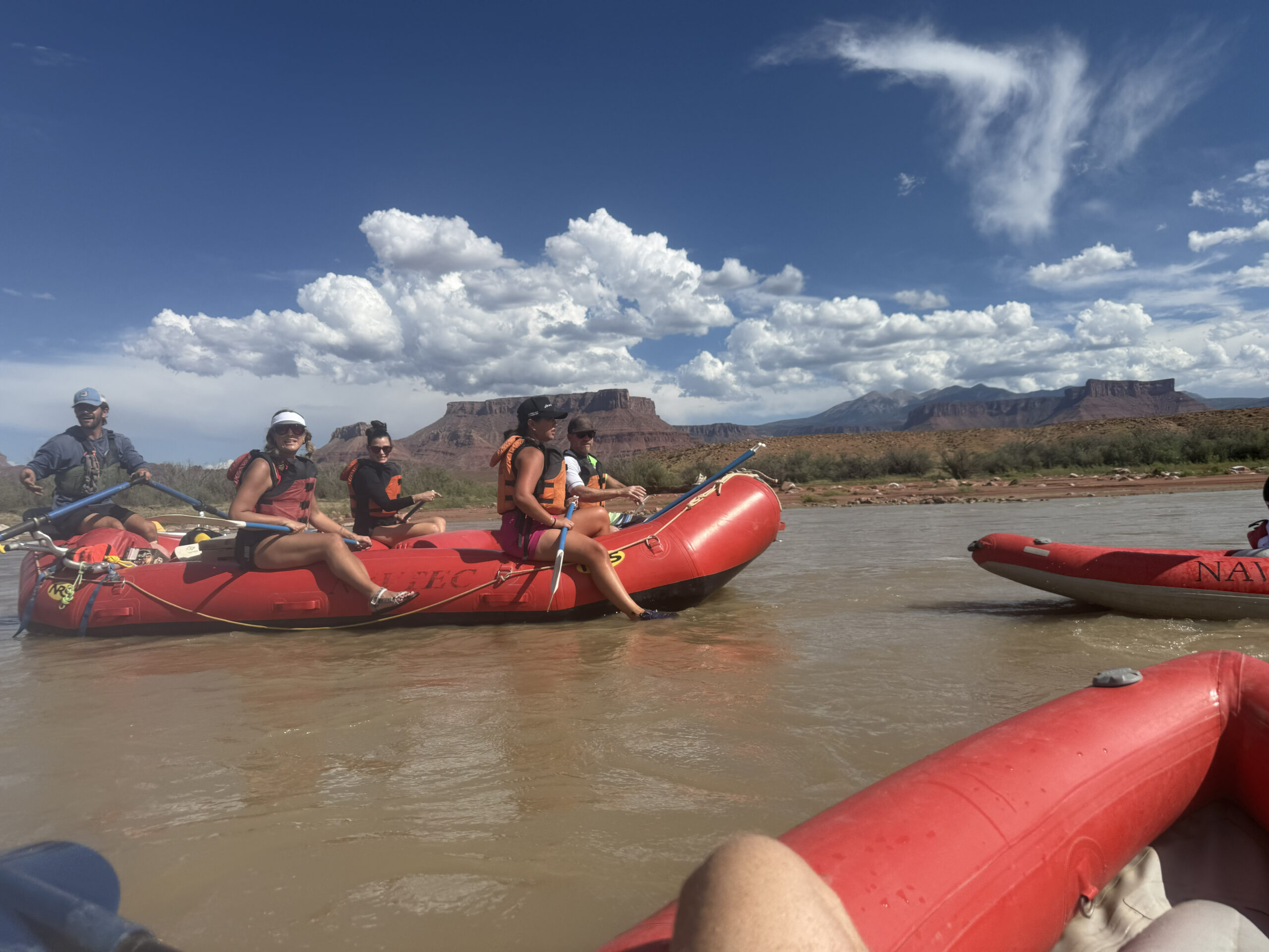
After several days behind the wheel, we changed transportation. Cars stayed parked. We headed for the Colorado River. Our final-day activity was a rafting trip through the Fisher Towers section near Moab. We did a 3 hour rafting tour with Navtec Expeditions. This was the perfect way to relax, forget about driving, and enjoy what AFR trips are supposed to be about. The cars are important. The roads are important. But the experience isn’t limited to what happens behind the steering wheel.
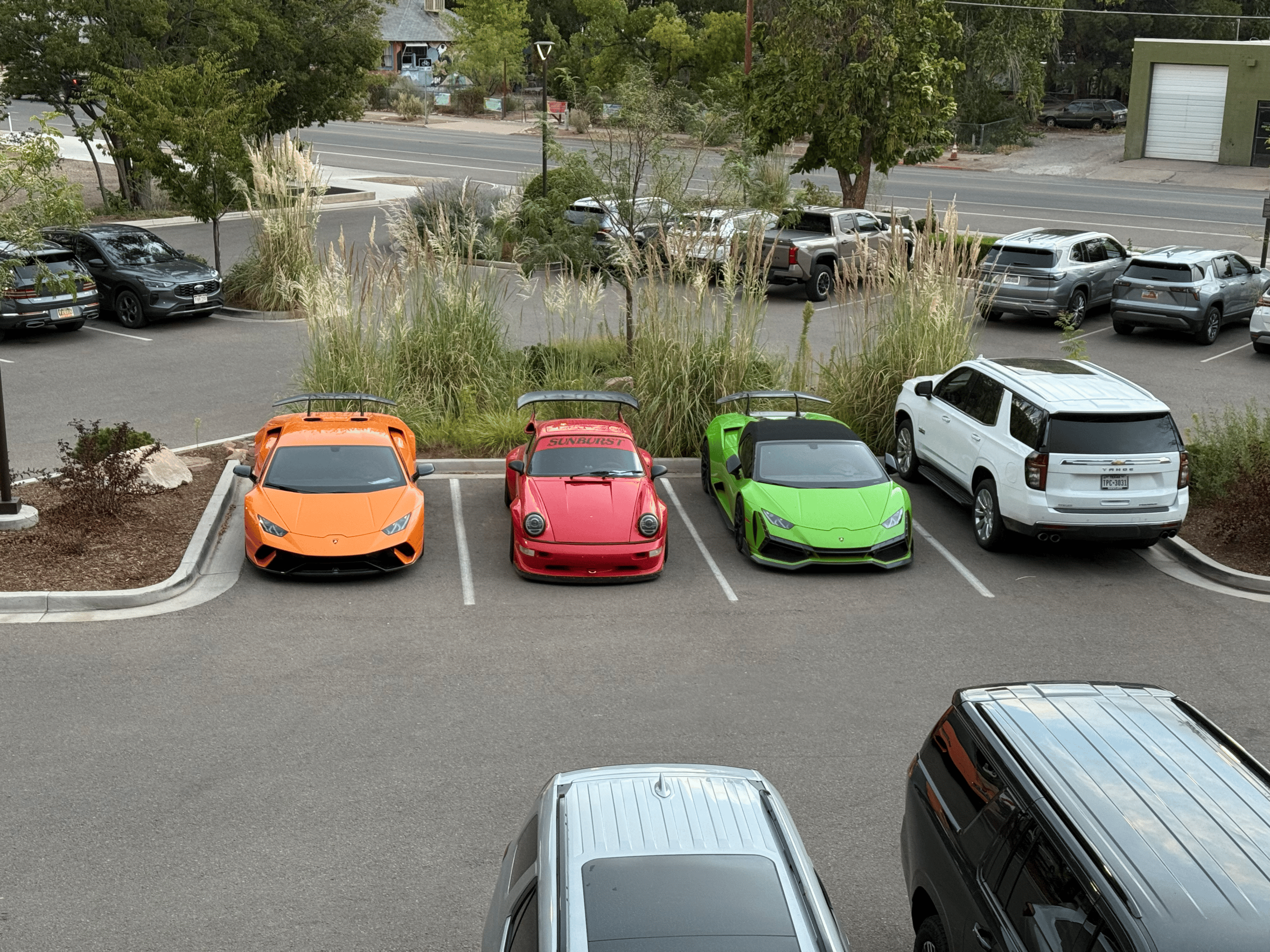
We stayed at Hoodoo Moab, close to downtown and the surrounding red-rock landscape. That evening, the group met for the final dinner at Josie Wyatt’s Grille at the hotel. No early departure the next morning. No route briefing. No mountain pass waiting ahead. Just dinner, drinks and the realization that the rally was finished.
The following morning, everyone headed home.

Four Days, Four Completely Different Landscapes
What made the AFR Ascent Tour memorable was how quickly the environment changed.
Gilbert gave us the Arizona desert.
Greer gave us pine forests and cool mountain temperatures.
Santa Fe brought history and Southwestern culture.
Silverton felt like a town preserved from the mining era.
And Moab dropped us into one of the most recognizable desert landscapes in America.
All within four days.
Planning Your Own Arizona to Moab Road Trip
The route can be recreated, but this is a trip where season and weather matter.
Higher elevations around Greer and especially Silverton can experience rapidly changing weather.
Even during warmer months, temperatures can be dramatically cooler than what you’ll experience in Gilbert or Moab.
Pack for both.
Fuel planning also becomes important as you travel through the more remote portions of Arizona, New Mexico and Colorado.
Don’t assume the next town will have premium fuel.
When traveling with performance cars, we generally treat good fuel availability as part of the route planning rather than something to figure out once the gauge is low.
Give Yourself Time
The distances on the Ascent Tour are manageable, but that’s because the route was built around stopping and actually experiencing the destinations.
Don’t try to rush through Silverton.
Don’t arrive in Santa Fe just to sleep and leave.
And don’t drive all the way to Moab without giving yourself time to get out of the car and experience the landscape.
The road is only half of the trip.
Why We Called It The Ascent Tour
The name started with the obvious part.
We were climbing.
From the Arizona desert into Greer’s mountains.
From New Mexico into Colorado.
From Durango into the San Juans.
Eventually reaching Silverton above 9,000 feet.
But the name came to represent the entire experience.
Each day seemed to build on the one before it.
The roads became more dramatic.
The scenery became bigger.
The destinations became increasingly remote.
And then, at the end, we dropped out of the mountains and into Moab.
That progression is what made this route work.
Why We Drive
The shortest route from Gilbert to Moab would have skipped nearly everything that made this trip memorable.
It wouldn’t have taken us through Morenci.
It wouldn’t have given us a night in Greer.
We wouldn’t have wandered through Santa Fe.
We wouldn’t have driven into the San Juan Mountains.
We wouldn’t have spent a night in Silverton.
And we definitely wouldn’t have finished the rally rafting beneath the red cliffs of Moab.
That’s why AFR routes rarely make sense if your only goal is getting somewhere quickly.
The destination matters.
But the road you choose to reach it matters more.
That was the AFR Ascent Tour.
